Sites and Monuments Record · Ireland
Water mill - unclassified
Oldbawn, County Dublin, Ireland
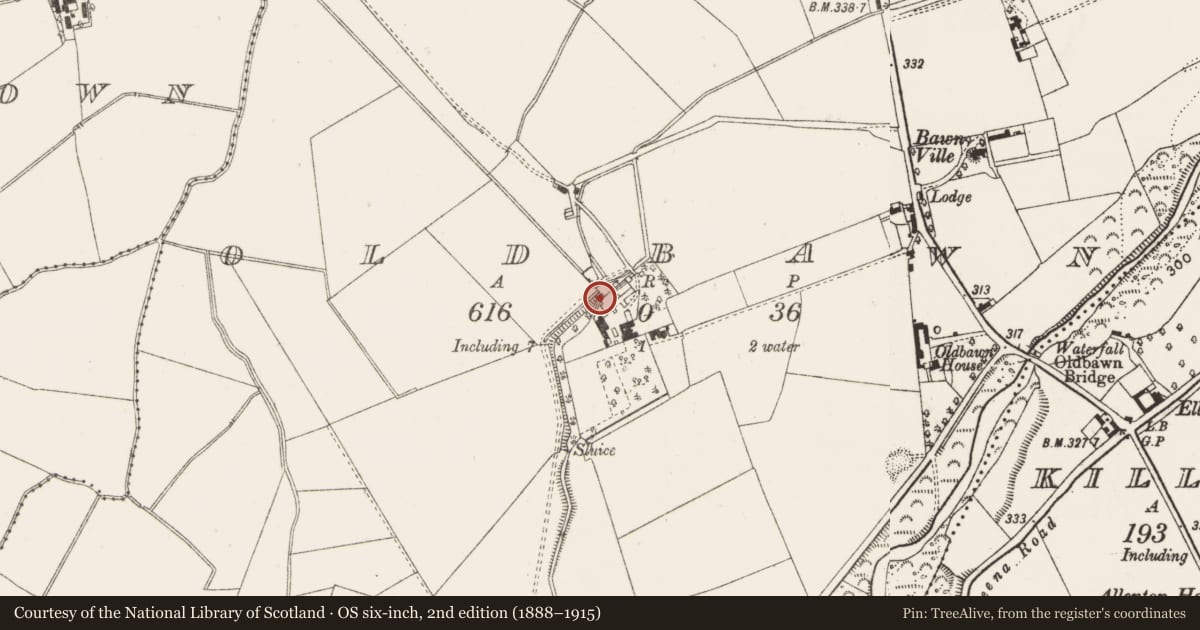
The record
- Townland
- Oldbawn
- County
- Dublin
- Country
- Ireland
- First-edition OS map
- NULL
- Latest-edition OS map
- Not indicated
- Coordinates
- 53.27689, -6.36473
- SMR number
- DU021-057002-
Slide toward Today to fade the historical sheet and see the modern map underneath.
David Rumsey Map Collection, Stanford LibrariesDavid Rumsey Map Collection, Stanford LibrariesDavid Rumsey Map Collection, Stanford LibrariesDavid Rumsey Map Collection, Stanford Libraries
4 historical maps cover this location, the earliest the 1790 map "Composite: Ireland." (David Rumsey Map Collection, Stanford Libraries).
Historical maps covering this location
- 1790 · Composite: Ireland. (David Rumsey Map Collection, Stanford Libraries)
- 1799 · Ireland. (David Rumsey Map Collection, Stanford Libraries)
- 1811 · Ireland. (David Rumsey Map Collection, Stanford Libraries)
- 1891 · Ireland 16 (David Rumsey Map Collection, Stanford Libraries)
This record in the National Monuments Service's Historic Environment Viewer ↗
The National Monuments Service's description
The Down Survey (1655-6) map shows a mill at Oldbawn. The Paper mill which adjoined Oldbawn House (SMR 21:57) probably occupies the site (Handcock 1991, 60-61). A mill stream taken off the Dodder at Kiltipper supplied the millpond. 1
Nearby in the register
- House - 16th/17th centuryunder 1 mi
- Bridgeunder 1 mi
- House - 18th/19th centuryunder 1 mi
- Churchunder 1 mi
Other entries of the same register within about three miles of this one, by straight line.