Sites and Monuments Record · Ireland
House - Neolithic
Lissenhall Little, County Dublin, Ireland
The record
- Townland
- Lissenhall Little
- County
- Dublin
- Country
- Ireland
- Coordinates
- 53.47940, -6.20625
- SMR number
- DU012-079002-
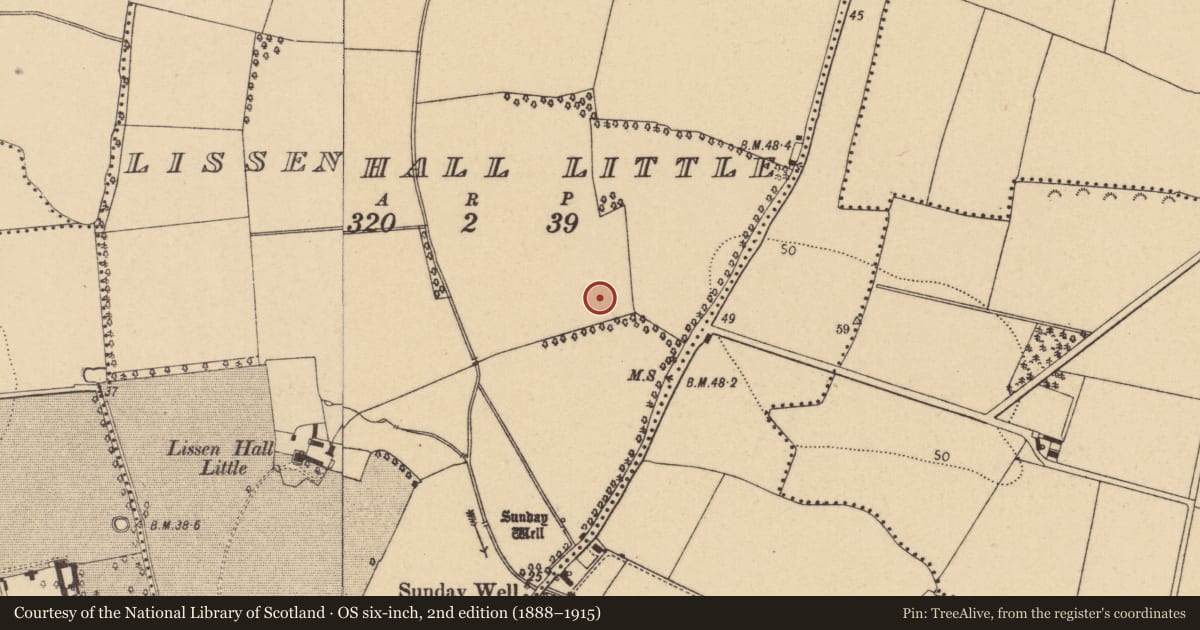
Slide toward Today to fade the historical sheet and see the modern map underneath.
David Rumsey Map Collection, Stanford LibrariesDavid Rumsey Map Collection, Stanford LibrariesDavid Rumsey Map Collection, Stanford LibrariesDavid Rumsey Map Collection, Stanford Libraries
4 historical maps cover this location, the earliest the 1799 map "Ireland." (David Rumsey Map Collection, Stanford Libraries).
Historical maps covering this location
- 1799 · Ireland. (David Rumsey Map Collection, Stanford Libraries)
- 1811 · Ireland. (David Rumsey Map Collection, Stanford Libraries)
- 1841 · Ireland. (David Rumsey Map Collection, Stanford Libraries)
- 1891 · Ireland 16 (David Rumsey Map Collection, Stanford Libraries)
This record in the National Monuments Service's Historic Environment Viewer ↗
The National Monuments Service's description
Excavated (Licence no. 01E1074) in advance of the construction of the M1, this monument was one of two Neolithic post-built structures (see also DU012-079001-). This structure (9m x 5-6m) located 9m SE of structure 1 consisted of a line of post and stakeholes (max. 0.3m diam.) and a fire pit (Reilly 2013, 9).
Compiled by: Christine Baker
Date of upload: 5 February 2015
References
Reilly, F. 2013 Archaeological excavation final report, Lissenhall Little Site 2, Northern Motorway Lissenhall-Balbriggan By-Pass (Licence no. 01E1074). Unpublished report. National Monuments Service, Department of Arts, Heritage and the Gaeltacht.
Nearby in the register
- House - Neolithicunder 1 mi
- Field systemunder 1 mi
- Ritual site - holy wellunder 1 mi
- Ring-ditchunder 1 mi
Other entries of the same register within about three miles of this one, by straight line.