Sites and Monuments Record · Ireland
Graveyard
Malahide Demesne, County Dublin, Ireland
The record
- Townland
- Malahide Demesne
- County
- Dublin
- Country
- Ireland
- Coordinates
- 53.44504, -6.16354
- SMR number
- DU012-031006-
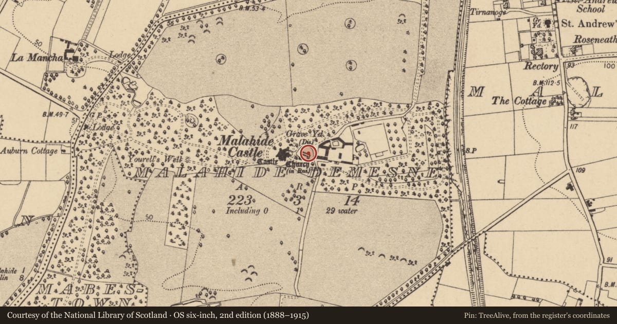
Slide toward Today to fade the historical sheet and see the modern map underneath.
David Rumsey Map Collection, Stanford LibrariesDavid Rumsey Map Collection, Stanford LibrariesDavid Rumsey Map Collection, Stanford LibrariesDavid Rumsey Map Collection, Stanford Libraries
4 historical maps cover this location, the earliest the 1799 map "Ireland." (David Rumsey Map Collection, Stanford Libraries).
Historical maps covering this location
- 1799 · Ireland. (David Rumsey Map Collection, Stanford Libraries)
- 1811 · Ireland. (David Rumsey Map Collection, Stanford Libraries)
- 1841 · Ireland. (David Rumsey Map Collection, Stanford Libraries)
- 1891 · Ireland 16 (David Rumsey Map Collection, Stanford Libraries)
This record in the National Monuments Service's Historic Environment Viewer ↗
The National Monuments Service's description
Located in the grounds of Malahide Castle (DU012-030----) opposite the recently renovated Courtyard. This is a relatively small sub-circular graveyard enclosed by a battlemented wall (E-W c. 40m, N-S c. 45m) and curving hedgerow. It is raised in the centre and dominated by the church (DU012-031001-) the interior of which has been used for internment. The graveyard contains a number of inscribed 18th, 19th and early to mid-20th century gravestones. There are also undecorated grave markers and possibly reused architectural fragments. At least two examples of fallen slabs (one external and one internal to church) have been replaced by modern stones with original inscriptions eg. Lambs-1789 Peter 109 years, his wife died 1791 100 years, they lived together for 80 years.
Monitoring (Licence no. C451; E4381) of the insertion of services during the redevelopment of the Malahide Castle & Gardens uncovered skeletal remains on the curving path 1m externally to the graveyard. These remains were uncovered at a depth of approximately 0.5m below the surface and were aligned east to west. All four individuals were truncated at the west by a modern service trench.
Compiled by: Geraldine Stout
Updated by; Christine Baker
Date of upload: 16 January 2015
Nearby in the register
- Churchunder 1 mi
- Tomb - effigialunder 1 mi
- Architectural fragmentunder 1 mi
- Sheela-na-gigunder 1 mi
Other entries of the same register within about three miles of this one, by straight line.