Sites and Monuments Record · Ireland
Ring-ditch
Skidoo, County Dublin, Ireland
The record
- Townland
- Skidoo
- County
- Dublin
- Country
- Ireland
- First-edition OS map
- Not Indicated
- Latest-edition OS map
- Not Indicated
- Coordinates
- 53.48949, -6.26620
- SMR number
- DU011-160----
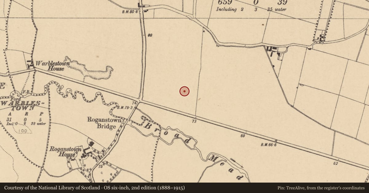
Slide toward Today to fade the historical sheet and see the modern map underneath.
David Rumsey Map Collection, Stanford LibrariesDavid Rumsey Map Collection, Stanford LibrariesDavid Rumsey Map Collection, Stanford LibrariesDavid Rumsey Map Collection, Stanford Libraries
4 historical maps cover this location, the earliest the 1799 map "Ireland." (David Rumsey Map Collection, Stanford Libraries).
Historical maps covering this location
- 1799 · Ireland. (David Rumsey Map Collection, Stanford Libraries)
- 1811 · Ireland. (David Rumsey Map Collection, Stanford Libraries)
- 1841 · Ireland. (David Rumsey Map Collection, Stanford Libraries)
- 1891 · Ireland 16 (David Rumsey Map Collection, Stanford Libraries)
This record in the National Monuments Service's Historic Environment Viewer ↗
The National Monuments Service's description
First identified from an examination of aerial photography (Google Earth Image date 12/07/2013) by Tom Condit, the ring-ditch consists of a bivallate circular cropmark with the inner enclosure (diam. 18m N-S) more clearly demarcated that the outer one (diam. 32m N-S). The monument is one of a group of three (DU011-105---- and DU011-161----) identified on S and SE facing slopes within a large field. The Broadmeadow river lies just to the south. Views are somewhat restricted to the N and E by adjacent hedgerows but are extensive to the S and W. DU011-161---- lies to the WSW with DU011-105---- to the NW.
O' Connell, A. 2014 Balheary Avenue, Swords, County Dublin Archaeological Testing Licence No. 14E0142, Unpublished report, Archer Heritage Planning
Compiled by: Margaret Keane
Uploaded: 29 March 2017
References
O'Connell, A. 2014 Balheary Avenue, Swords, County Dublin Archaeological Testing Licence No. 14E0142, Unpublished report, Archer Heritage Planning. National Monuments Section, Department of Culture, Heritage and the Gaeltacht, Dublin.
Nearby in the register
- Ring-ditchunder 1 mi
- Ring-ditchunder 1 mi
- Bridgeunder 1 mi
- Ring-ditchunder 1 mi
Other entries of the same register within about three miles of this one, by straight line.