Sites and Monuments Record · Ireland
Fulacht fia
Mooretown (Nethercross By.), County Dublin, Ireland
The record
- Townland
- Mooretown (Nethercross By.)
- County
- Dublin
- Country
- Ireland
- Coordinates
- 53.46395, -6.24459
- SMR number
- DU011-148----
Slide toward Today to fade the historical sheet and see the modern map underneath.
David Rumsey Map Collection, Stanford LibrariesDavid Rumsey Map Collection, Stanford LibrariesDavid Rumsey Map Collection, Stanford LibrariesDavid Rumsey Map Collection, Stanford Libraries
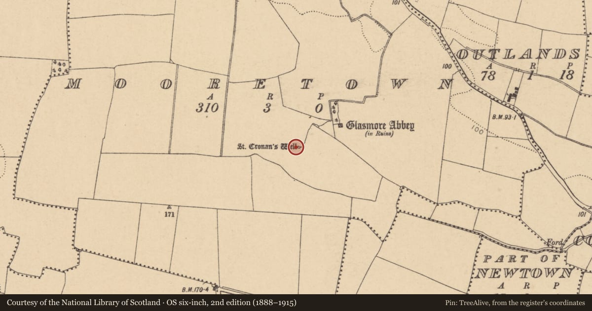
4 historical maps cover this location, the earliest the 1799 map "Ireland." (David Rumsey Map Collection, Stanford Libraries).
Historical maps covering this location
- 1799 · Ireland. (David Rumsey Map Collection, Stanford Libraries)
- 1811 · Ireland. (David Rumsey Map Collection, Stanford Libraries)
- 1841 · Ireland. (David Rumsey Map Collection, Stanford Libraries)
- 1891 · Ireland 16 (David Rumsey Map Collection, Stanford Libraries)
This record in the National Monuments Service's Historic Environment Viewer ↗
The National Monuments Service's description
Features identified by geophysical survey (Licence no. 06R067) undertaken in advance of proposed development were confirmed by test excavation (Licence no. 08E0303). A fulacht fia is present in close proximity to St Cronan’s well (DU011-018----). It consists of two charcoal rich spreads (6m max. diam.) that contain fire cracked stone and a trough, oval in plan (1.75m diam.) and lined with wicker-work (Frazer 2008, 30).
Compiled by: Christine Baker
Date of upload: 4 February 2015
References
Frazer, W. 2008 Archaeological test excavation, Mooretown, Swords, Co. Dublin (Licence no. 08E0303). Unpublished report. National Monuments Service, Department of Arts, Heritage and the Gaeltacht.
Nearby in the register
- Ritual site - holy wellunder 1 mi
- Settlement clusterunder 1 mi
- Structureunder 1 mi
- Ringfort - unclassifiedunder 1 mi
Other entries of the same register within about three miles of this one, by straight line.