Sites and Monuments Record · Ireland
Burial ground
Townparks (Nethercross By.), County Dublin, Ireland
The record
- Townland
- Townparks (Nethercross By.)
- County
- Dublin
- Country
- Ireland
- Latest-edition OS map
- Not indicated
- Coordinates
- 53.45522, -6.21947
- SMR number
- DU011-101----
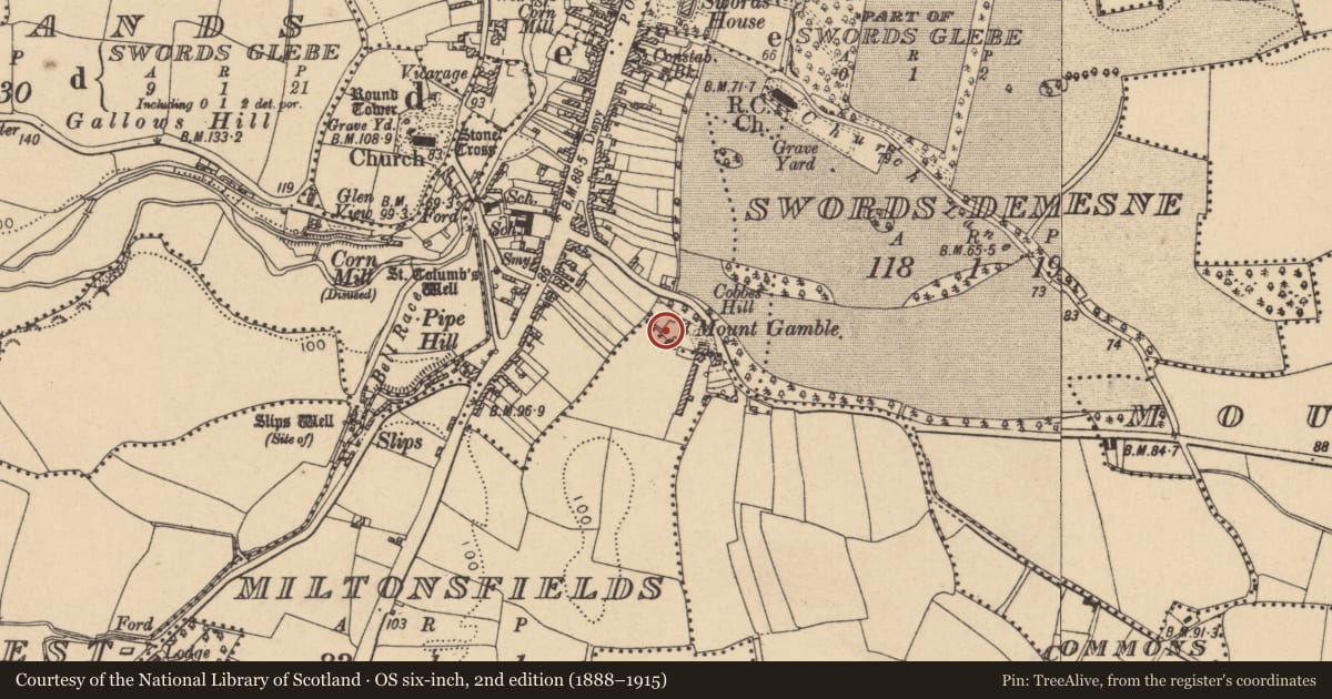
Slide toward Today to fade the historical sheet and see the modern map underneath.
David Rumsey Map Collection, Stanford LibrariesDavid Rumsey Map Collection, Stanford LibrariesDavid Rumsey Map Collection, Stanford LibrariesDavid Rumsey Map Collection, Stanford Libraries
4 historical maps cover this location, the earliest the 1799 map "Ireland." (David Rumsey Map Collection, Stanford Libraries).
Historical maps covering this location
- 1799 · Ireland. (David Rumsey Map Collection, Stanford Libraries)
- 1811 · Ireland. (David Rumsey Map Collection, Stanford Libraries)
- 1841 · Ireland. (David Rumsey Map Collection, Stanford Libraries)
- 1891 · Ireland 16 (David Rumsey Map Collection, Stanford Libraries)
This record in the National Monuments Service's Historic Environment Viewer ↗
The National Monuments Service's description
In 2003 pre-development investigation uncovered a cemetery which was in use from 550 AD to 1150 AD. Located on a low hillock overlooking Swords. The burial rite varied from crouched, flexed or extended inhumations. The range of grave types comprised simple unlined, stone-lined and lintel graves and body position changed throughout the use of the site. A total of 281 inhumed burials were revealed. The cemetery was unenclosed. No evidence for a stone or timber church or other building was discovered. Artefacts associated with the burials include aiglets or lace chapes used to protect the end of lace cords to tie a shirt or vest. A single female inhumation had a ring on her finger. The earliest dated burial between 549-610AD was a high status male 40-50 years old and buried within a lintel grave. Adults dominated the population (61%) juveniles represented about a third (29%) and only a small proportion of the population were infants (10%). Analysis of the human remains revealed evidence for disease, childbirth mortality and weapon-related injuries (O'Donovan, E. & Geber, J.2009, 64-74).
Compiled by: Geraldine Stout
Date of upload: 26 August 2011
Nearby in the register
- Ritual site - holy wellunder 1 mi
- Historic townunder 1 mi
- Middenunder 1 mi
- Font (present location)under 1 mi
Other entries of the same register within about three miles of this one, by straight line.