Sites and Monuments Record · Ireland
Castle - tower house
Belinstown (Nethercross By.), County Dublin, Ireland
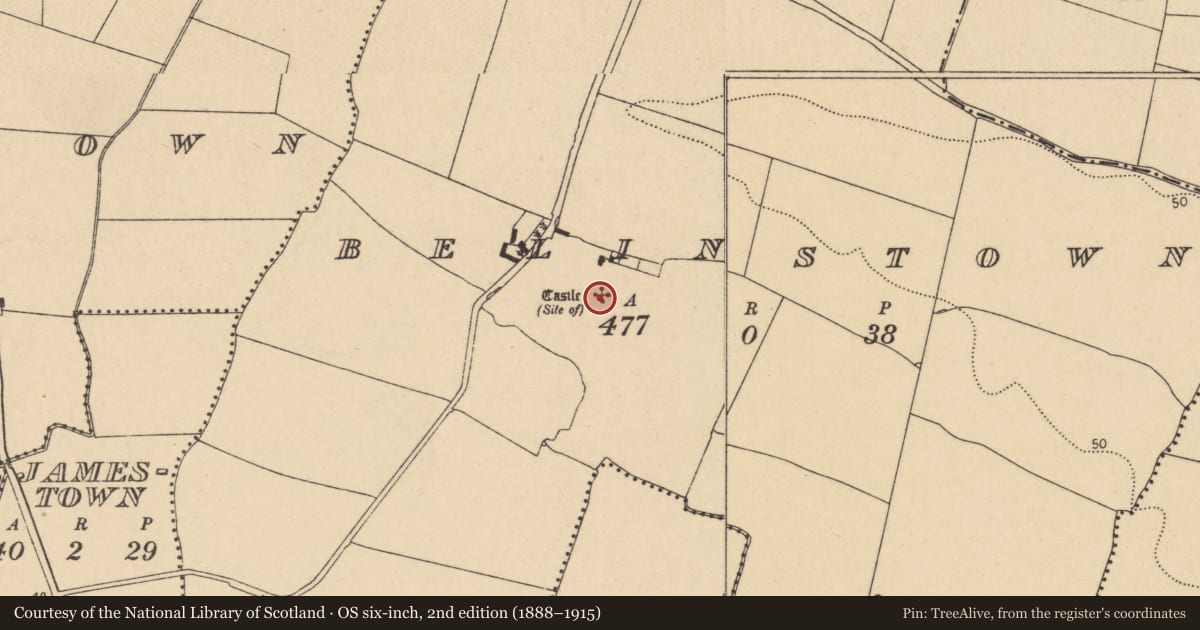
The record
- Townland
- Belinstown (Nethercross By.)
- County
- Dublin
- Country
- Ireland
- Latest-edition OS map
- Castle (Site of)
- Coordinates
- 53.48963, -6.21443
- SMR number
- DU011-007001-
Slide toward Today to fade the historical sheet and see the modern map underneath.
David Rumsey Map Collection, Stanford LibrariesDavid Rumsey Map Collection, Stanford LibrariesDavid Rumsey Map Collection, Stanford LibrariesDavid Rumsey Map Collection, Stanford Libraries
4 historical maps cover this location, the earliest the 1799 map "Ireland." (David Rumsey Map Collection, Stanford Libraries).
Historical maps covering this location
- 1799 · Ireland. (David Rumsey Map Collection, Stanford Libraries)
- 1811 · Ireland. (David Rumsey Map Collection, Stanford Libraries)
- 1841 · Ireland. (David Rumsey Map Collection, Stanford Libraries)
- 1891 · Ireland 16 (David Rumsey Map Collection, Stanford Libraries)
This record in the National Monuments Service's Historic Environment Viewer ↗
The National Monuments Service's description
This is the site of a thatched castle held by Laurence Bealing who was described as an 'Irish papist' and 'indicted of Rebellion' in the Civil survey (1654-6) (Simington 1945, 104). There is no visible surface trace of the castle. Site currently under large commercial shed. There are extensive cropmarks of enclosures and field systems in the surrounding fields (DU011-007002-).
Compiled by: Geraldine Stout
Updated by: Christine Baker
Date of upload: 02 January 2015
References
Simington, R.C. (ed.) 1945 The Civil survey, AD 1654-1656. Vol. VII: county of Dublin. Dublin. Irish Manuscripts Commission.
Nearby in the register
- Earthworkunder 1 mi
- Ringfort - cashelunder 1 mi
- Burnt moundunder 1 mi
- Burnt moundunder 1 mi
Other entries of the same register within about three miles of this one, by straight line.