Sites and Monuments Record · Ireland
Ring-ditch
Mallahow, County Dublin, Ireland
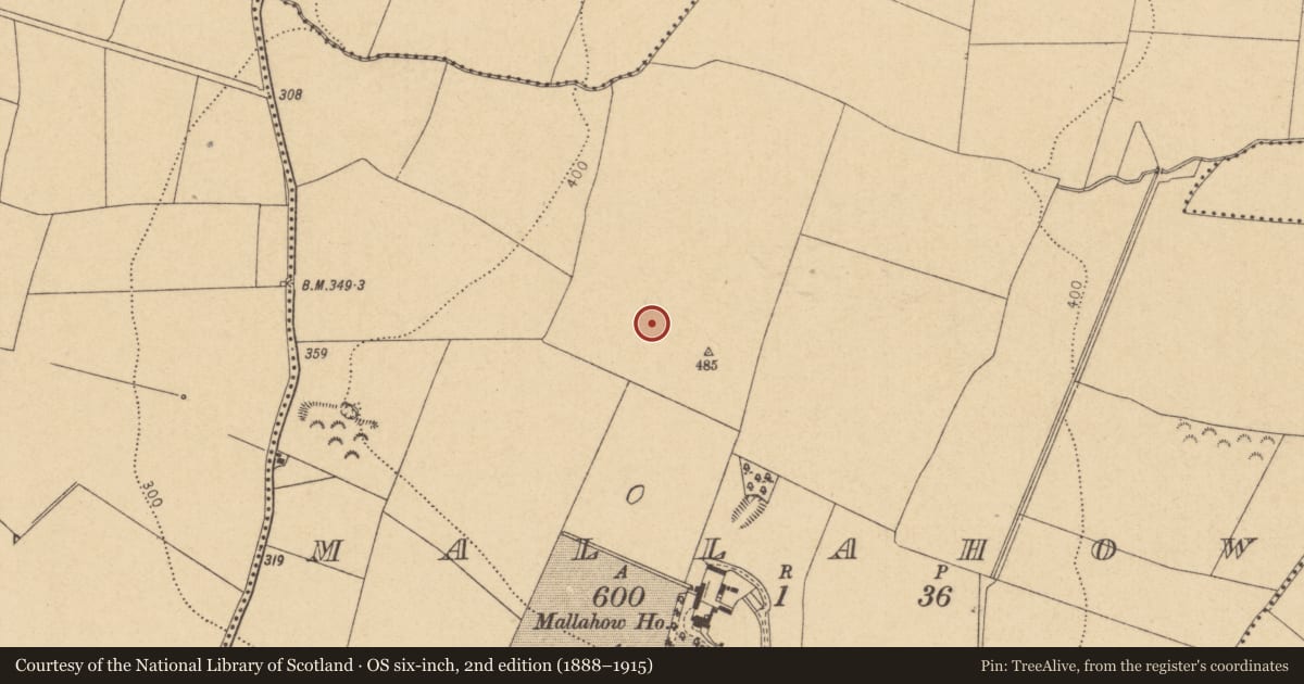
The record
- Townland
- Mallahow
- County
- Dublin
- Country
- Ireland
- First-edition OS map
- Not indicated
- Latest-edition OS map
- Not indicated
- Coordinates
- 53.56157, -6.30908
- SMR number
- DU004-071001-
Slide toward Today to fade the historical sheet and see the modern map underneath.
David Rumsey Map Collection, Stanford LibrariesDavid Rumsey Map Collection, Stanford LibrariesDavid Rumsey Map Collection, Stanford LibrariesDavid Rumsey Map Collection, Stanford Libraries
4 historical maps cover this location, the earliest the 1790 map "Composite: Ireland." (David Rumsey Map Collection, Stanford Libraries).
Historical maps covering this location
- 1790 · Composite: Ireland. (David Rumsey Map Collection, Stanford Libraries)
- 1799 · Ireland. (David Rumsey Map Collection, Stanford Libraries)
- 1811 · Ireland. (David Rumsey Map Collection, Stanford Libraries)
- 1891 · Ireland 16 (David Rumsey Map Collection, Stanford Libraries)
This record in the National Monuments Service's Historic Environment Viewer ↗
The National Monuments Service's description
Geophysical survey (Licence no. 13R083) was undertaken at the site by the Discovery Programme as part of the ‘Late Iron Age and “Roman” Ireland’ project. Located at the summit of the hill the enclosure (25m diam.) is defined by a circular ditch (3-4m in width) with a causewayed entrance to the east. Internal features include a possible circular structure (7.5m diam.), centrally positioned (Dowling 2015, 9).
Compiled by: Christine Baker
Date of upload: 6 February 2015
References
Dowling, G. 2015a Geophysical investigations at Mallahow, Co. Dublin (Licence no. 13R083). Unpublished report. National Monuments Service, Department of Arts, Heritage and the Gaeltacht
Nearby in the register
- Ring-ditchunder 1 mi
- Ring-ditchunder 1 mi
- Quarryunder 1 mi
- Quarryunder 1 mi
Other entries of the same register within about three miles of this one, by straight line.