Sites and Monuments Record · Ireland
Pit-burial
Magheracar, County Donegal, Ireland
The record
- Townland
- Magheracar
- County
- Donegal
- Country
- Ireland
- First-edition OS map
- NULL
- Latest-edition OS map
- Not indicated
- Coordinates
- 54.47156, -8.28337
- SMR number
- DG109-009----
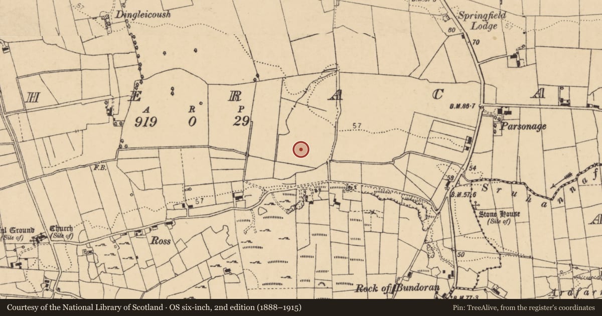
Slide toward Today to fade the historical sheet and see the modern map underneath.
David Rumsey Map Collection, Stanford LibrariesDavid Rumsey Map Collection, Stanford LibrariesDavid Rumsey Map Collection, Stanford LibrariesDavid Rumsey Map Collection, Stanford Libraries
4 historical maps cover this location, the earliest the 1881 map "Ireland to Illustrate the Military Condition of the Country." (David Rumsey Map Collection, Stanford Libraries).
Historical maps covering this location
- 1881 · Ireland to Illustrate the Military Condition of the Country. (David Rumsey Map Collection, Stanford Libraries)
- 1891 · Ireland 16 (David Rumsey Map Collection, Stanford Libraries)
- 1904 · Sheet 4. (David Rumsey Map Collection, Stanford Libraries)
- 1922 · Ireland - northern section. (David Rumsey Map Collection, Stanford Libraries)
This record in the National Monuments Service's Historic Environment Viewer ↗
The National Monuments Service's description
Archaeological testing carried out under excavation licence no. 04E0012 (Part 1) by Brian O Donnchadha of I.A.C. Ltd as part of the Ballyshannon/Bundoran Bypass road scheme revealed a possible pit burial and a chert knapping site. The site is located at the base of a valley, near Donegal Bay,with a stream along its southern boundary. The glacial subsoil slopes considerably downwards under the peat bog, which occupies the 30 m of the field west of the stream, possibly indicating that it may have been a lakeshore area. The site consisted of an irregular-shaped shallow pit filled with frequent fragments of cremated bone. A lithic scatter (DG109-009001-) was uncovered from the area above the pit. The assemblage, distributed over an area of 140 m, represents a dispersed spread of stray finds, rather than a discrete matter. 23 pieces of chert debitage (primary knapping debitage, cores, flakes, blades). Information taken from NRA archaeological database website (www.nra.ie).
Nearby in the register
- Road - class 3 togherunder 1 mi
- Middenunder 1 mi
- House - indeterminate dateunder 1 mi
- Linear earthworkunder 1 mi
Other entries of the same register within about three miles of this one, by straight line.