Sites and Monuments Record · Ireland
Enclosure
Lurgan, County Donegal, Ireland
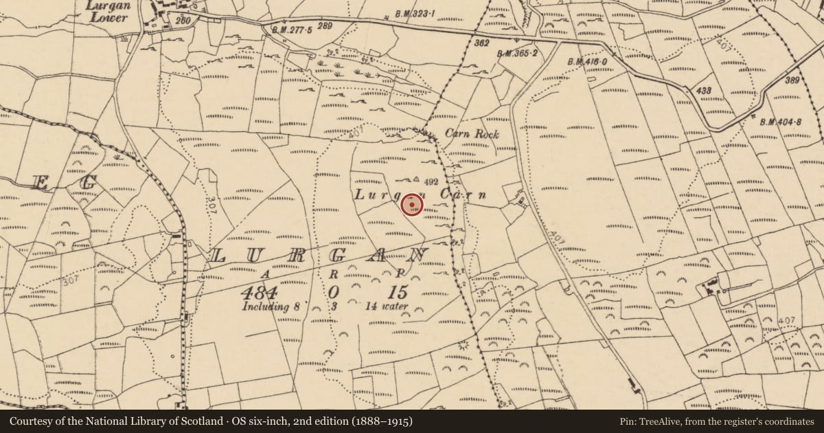
The record
- Townland
- Lurgan
- County
- Donegal
- Country
- Ireland
- First-edition OS map
- Not indicated
- Latest-edition OS map
- Not indicated
- Coordinates
- 54.55304, -8.15741
- SMR number
- DG103-092----
Slide toward Today to fade the historical sheet and see the modern map underneath.
David Rumsey Map Collection, Stanford LibrariesDavid Rumsey Map Collection, Stanford LibrariesDavid Rumsey Map Collection, Stanford LibrariesDavid Rumsey Map Collection, Stanford Libraries
4 historical maps cover this location, the earliest the 1881 map "Ireland to Illustrate the Military Condition of the Country." (David Rumsey Map Collection, Stanford Libraries).
Historical maps covering this location
- 1881 · Ireland to Illustrate the Military Condition of the Country. (David Rumsey Map Collection, Stanford Libraries)
- 1891 · Ireland 16 (David Rumsey Map Collection, Stanford Libraries)
- 1904 · Sheet 4. (David Rumsey Map Collection, Stanford Libraries)
- 1922 · Ireland - northern section. (David Rumsey Map Collection, Stanford Libraries)
This record in the National Monuments Service's Historic Environment Viewer ↗
The National Monuments Service's description
In pasture, located roughly in the centre of a hillfort (DG103-072----) on the top of a N–S limestone ridge. This enclosure consists of a flat, circular area (22m N–S; 22m E–W) defined on the perimeter by a slight, grass-covered rise, marked by mossy tussocks and occasional stones. There is a break (Wth c. 6m) at N–NNE. The enclosure is barely discernible at ground level. It is located on a plateau which forms a spine of relatively level ground extending N–S through the centre of the hillfort. The enclosure is conjoined on its E side to a possible circular house (DG103-093----). There is a larger circular enclosure (DG103-072----) 13.5m to N, within which there is a cairn (DG103-029----) marking the highest point of the ridge.
Attached image:
DG103-092----_01.JPG Yellow arrows indicate outline of the enclosure, with the possible house (DG103-093----) indicated by a red arrow, viewed from NW.
Compiled by: Jane O’Shaughnessy
Date of upload: 18 November 2015
Nearby in the register
- Hillfortunder 1 mi
- House - indeterminate dateunder 1 mi
- Ringfort - cashelunder 1 mi
- Cairn - unclassifiedunder 1 mi
Other entries of the same register within about three miles of this one, by straight line.