Sites and Monuments Record · Ireland
Enclosure
Foffanagh, County Donegal, Ireland
The record
- Townland
- Foffanagh
- County
- Donegal
- Country
- Ireland
- First-edition OS map
- Not indicated
- Latest-edition OS map
- Not indicated
- Coordinates
- 55.16165, -7.38718
- SMR number
- DG029-060----
Slide toward Today to fade the historical sheet and see the modern map underneath.
David Rumsey Map Collection, Stanford LibrariesDavid Rumsey Map Collection, Stanford LibrariesDavid Rumsey Map Collection, Stanford LibrariesDavid Rumsey Map Collection, Stanford Libraries
4 historical maps cover this location, the earliest the 1881 map "Ireland to Illustrate the Military Condition of the Country." (David Rumsey Map Collection, Stanford Libraries).
Historical maps covering this location
- 1881 · Ireland to Illustrate the Military Condition of the Country. (David Rumsey Map Collection, Stanford Libraries)
- 1891 · Ireland 16 (David Rumsey Map Collection, Stanford Libraries)
- 1900 · Ireland (David Rumsey Map Collection, Stanford Libraries)
- 1904 · Sheet 1. (David Rumsey Map Collection, Stanford Libraries)
This record in the National Monuments Service's Historic Environment Viewer ↗
The National Monuments Service's description
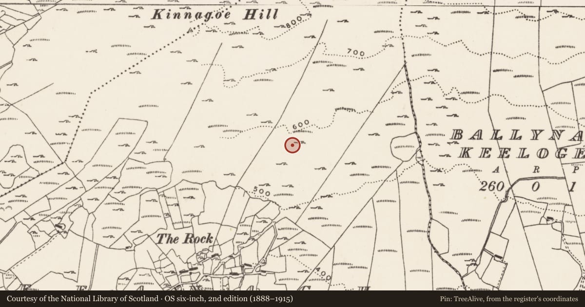
The poorly presevred remains of a possible enclosure situated on a low rise of rock outcrop on the S facing slope of Kinnagoe Hill with panoramic views of Lough Swilly to the SW and W. Hut site (DG029-048) located 200m to the WNW. Possible enclosure (DG029-061) 35m to the SW and possible radial stone enclosure (DG029-062) 39m to the S. Present remains consist of a much denuded oval-shaped area (ext. diam. 17.7m E-W x 13.7m N-S) defined by a series of low upright stones with the remains of a collapsed stone structure in the E quadrant. The remains of a possible passage (Wth 0.5m; H 0.2m) defined by a single lintel stone resting on a drystone wall mcan still be seen amongst the collpased debris of a stone structure or chamber. This pasage appears to widen out into the remains of a possible collapsed chamber located in the E quadrant of the enclosure. The poor state of preservation makes classification of this monument problematical but it could be the remains of a robbed out cairn with possible chamber of a tomb in the E quadrant.
Compiled by: Caimin O'Brien
Date of upload/revision : 24 November 2010
Nearby in the register
- Enclosureunder 1 mi
- Hut siteunder 1 mi
- Cairn - clearance cairnunder 1 mi
- Cairn - clearance cairnunder 1 mi
Other entries of the same register within about three miles of this one, by straight line.