Sites and Monuments Record · Ireland
Church
Kildreenagh, County Carlow, Ireland
The record
- Townland
- Kildreenagh
- County
- Carlow
- Country
- Ireland
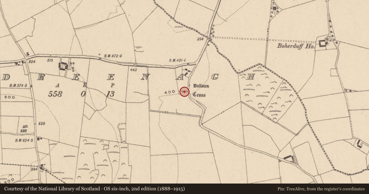
- Latest-edition OS map
- Kildreenagh Church (in Ruins), Bullan, Cross
- Coordinates
- 52.71533, -6.88973
- SMR number
- CW016-032001-
Slide toward Today to fade the historical sheet and see the modern map underneath.
David Rumsey Map Collection, Stanford LibrariesDavid Rumsey Map Collection, Stanford LibrariesDavid Rumsey Map Collection, Stanford LibrariesDavid Rumsey Map Collection, Stanford Libraries
4 historical maps cover this location, the earliest the 1790 map "Composite: Ireland." (David Rumsey Map Collection, Stanford Libraries).
Historical maps covering this location
- 1790 · Composite: Ireland. (David Rumsey Map Collection, Stanford Libraries)
- 1811 · Ireland. (David Rumsey Map Collection, Stanford Libraries)
- 1869 · Ireland. (David Rumsey Map Collection, Stanford Libraries)
- 1891 · Ireland 16 (David Rumsey Map Collection, Stanford Libraries)
This record in the National Monuments Service's Historic Environment Viewer ↗
The National Monuments Service's description
The following description is derived from the published 'Archaeological Inventory of County Carlow' (Dublin: Stationery Office, 1993). In certain instances the entries have been revised and updated in the light of recent research.
Date of revision: 30 June 2011
Revised by: Claire Breen
Historic Monument No. HM00330, this monument was entered in the Register of Historic Monuments on the 01 August 1989. Present remains consist of: (A) solid wheeled early medieval (eighth to tenth century) cross head with figure and decorative panel and section of shaft with interlace panel (CW016-032003-); (B) large granite boulder with two conical bullauns (CW016-032004-); (C) spud stone (CW016-032005-); (D) water stoup (CW016-032008-); (E) large granite boulder with rectangular socket, probably cross base (CW016-032006-); (F) large granite boulder with single bullaun (CW016-032007-). Remaining foundations of rectangular church (min. L 14m E-W; Wth 6.9m N-S) removed in 1989. The church is associated with a graveyard (CW016-032002-).
Nearby in the register
- Graveyardunder 1 mi
- Cross - High crossunder 1 mi
- Crossunder 1 mi
- Architectural fragmentunder 1 mi
Other entries of the same register within about three miles of this one, by straight line.