Sites and Monuments Record · Ireland
Font
Tullowphelim, County Carlow, Ireland
The record
- Townland
- Tullowphelim
- County
- Carlow
- Country
- Ireland
- First-edition OS map
- Not indicated
- Latest-edition OS map
- Not indicated
- Coordinates
- 52.80371, -6.73442
- SMR number
- CW008-045012-
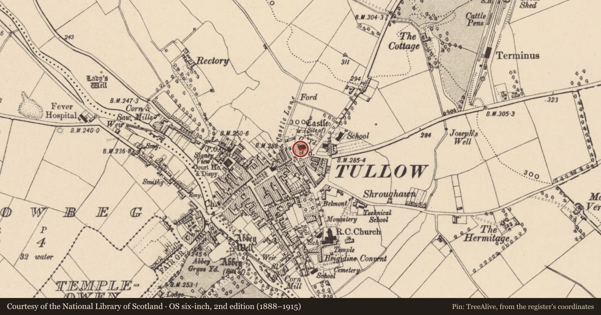
Slide toward Today to fade the historical sheet and see the modern map underneath.
David Rumsey Map Collection, Stanford LibrariesDavid Rumsey Map Collection, Stanford LibrariesDavid Rumsey Map Collection, Stanford LibrariesDavid Rumsey Map Collection, Stanford Libraries
4 historical maps cover this location, the earliest the 1790 map "Composite: Ireland." (David Rumsey Map Collection, Stanford Libraries).
Historical maps covering this location
- 1790 · Composite: Ireland. (David Rumsey Map Collection, Stanford Libraries)
- 1799 · Ireland. (David Rumsey Map Collection, Stanford Libraries)
- 1830 · V.3:11-15:XV. Britisches Reich. C. Kon: Ireland. a. Prov: Leinster. Counties: 1-12 (David Rumsey Map Collection, Stanford Libraries)
- 1891 · Ireland 16 (David Rumsey Map Collection, Stanford Libraries)
This record in the National Monuments Service's Historic Environment Viewer ↗
The National Monuments Service's description
Present St. Columba's C of I parish church is presumed to have replaced earlier medieval parish church (CW008-045006-). A roughly circular granite font with circular basin and central drainage hole (diam. 0.16m) can be seen in the graveyard (CW008-045014-) immediately to the S of the W end of the C of I church. Described in the Urban Survey of County Carlow (Bradley 1989, 69-70) as a 'circular granite font (dims. H 0.56m; ext. diam. 0.85m) with straight sided basin (top diam. 0.55m; base diam. 0.45m; D 0.25m) and a central drainage hole. On the south side of the church beside the entrance path. It is undecorated except for six cracks/grooves which run around the rim (T 0.14-0.26m) down the external face of the font and may be an attempt to make the bowl sexpartite. The rim slopes to the outside'. Described in 1892-4 as following: 'The old font lies in the churchyard, neglected and uncared for; it is of granite and much worn, circular in form, about 14 inches (0.35m) deep inside, and 20 inches (0.5m) over ground; what depth it is below the surface of the ground I am unable to say' (Anon. 1892-4, 446).
Compiled by: Caimin O'Brien
Date of upload: 25 September 2014
References
Bradley, J. and King, H.A. 1990 Urban archaeological survey - county Carlow. Unpublished report commissioned by the Office of Public Works, Dublin.
Anon. 1892-4 County Carlow. Journal of the Association for the Preservation of the Memorials of the Dead in Ireland 2, 420-447.
Nearby in the register
Other entries of the same register within about three miles of this one, by straight line.