Sites and Monuments Record · Ireland
House - Neolithic
Busherstown, County Carlow, Ireland
The record
- Townland
- Busherstown
- County
- Carlow
- Country
- Ireland
- First-edition OS map
- Not indicated
- Latest-edition OS map
- Not indicated
- Coordinates
- 52.82396, -6.84911
- SMR number
- CW007-126----
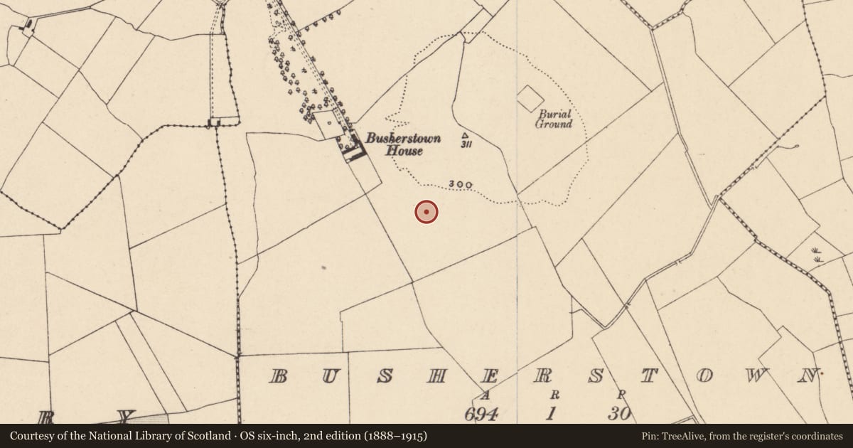
Slide toward Today to fade the historical sheet and see the modern map underneath.
David Rumsey Map Collection, Stanford LibrariesDavid Rumsey Map Collection, Stanford LibrariesDavid Rumsey Map Collection, Stanford LibrariesDavid Rumsey Map Collection, Stanford Libraries
4 historical maps cover this location, the earliest the 1790 map "Composite: Ireland." (David Rumsey Map Collection, Stanford Libraries).
Historical maps covering this location
- 1790 · Composite: Ireland. (David Rumsey Map Collection, Stanford Libraries)
- 1799 · Ireland. (David Rumsey Map Collection, Stanford Libraries)
- 1869 · Ireland. (David Rumsey Map Collection, Stanford Libraries)
- 1891 · Ireland 16 (David Rumsey Map Collection, Stanford Libraries)
This record in the National Monuments Service's Historic Environment Viewer ↗
The National Monuments Service's description
On gentle south facing slope, partially excavated in advance of construction of the N9/N10 Kilcullen-Waterford Road (Excavation Licence number E2581; area 6 in final report). Rectangular shaped (excavated portion 9.3m E/W by 7.1m N/S), defined by a trench (Wth 0.45m; D 0.3m), with 3 internal compartments. Orientated in an E/W direction. A possible hearth was discovered towards the centre of the structure. No evidence for an entrance was discovered suggesting that it is at the western end and preserved in-situ outside the road take. The structure was most likely destroyed by fire. A large assemblage of Carinated Neolithic pottery was found. A cremation pit (CW007-127----) was discovered inside the structure. (O' Neill N. 2009, 28-29, 31-3)
Reference:
O' Neill N. 2009 N9/N10 Kilcullen to Waterford Scheme: Kilcullen to Powerstown. Archaeological Services Contract No. 4 - Resolution, Prumpelstown to Powerstown. Final Report on archaeological investigations at site E2581, in the townland of Busherstown, Co. Carlow. Unpublished report, Headland Archaeology (Ireland) Ltd., Cork
Compiled by: Claire Breen
Date of upload: 10 November 2010
Nearby in the register
- Cremation pitunder 1 mi
- Cremation pitunder 1 mi
- Cremation pitunder 1 mi
- Cremation pitunder 1 mi
Other entries of the same register within about three miles of this one, by straight line.