Sites and Monuments Record · Ireland
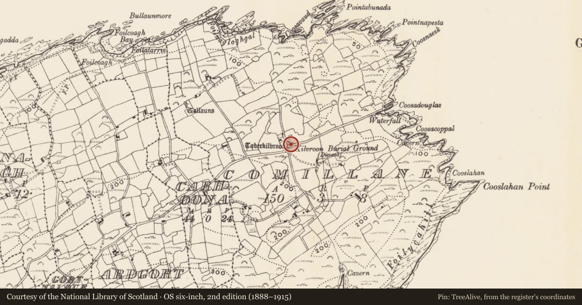
Burial ground
Comalán (Cléire), County Cork, Ireland
The record
- Townland
- Comalán (Cléire)
- County
- Cork
- Country
- Ireland
- First-edition OS map
- NULL
- Latest-edition OS map
- Kilvroon Burial Ground (Disused) (1902)
- Coordinates
- 51.44977, -9.46879
- SMR number
- CO153-013002-
Slide toward Today to fade the historical sheet and see the modern map underneath.
David Rumsey Map Collection, Stanford LibrariesUniversity Library, Vrije Universiteit Amsterdam
2 historical maps cover this location, the earliest the 1769 map "Nieuwe kaart van Ierland / I. Condet sculp." (University Library, Vrije Universiteit Amsterdam).
Historical maps covering this location
- 1769 · Nieuwe kaart van Ierland / I. Condet sculp. (University Library, Vrije Universiteit Amsterdam)
- 1841 · Ireland. (David Rumsey Map Collection, Stanford Libraries)
This record in the National Monuments Service's Historic Environment Viewer ↗
The National Monuments Service's description
In rough grazing, NE end Clear Island. Marked 'Kilvroon Burial Gd.' on OS 6-inch map (1842). No visible surface trace. Toberkilvroon (CO153-013001-) in area of burial ground.
The above description is derived from the published 'Archaeological Inventory of County Cork. Volume 1: West Cork' (Dublin: Stationery Office, 1992). In certain instances the entries have been revised and updated in the light of recent research.
Date of upload/revision: 14 January 2009
Nearby in the register
- Ritual site - holy wellunder 1 mi
- Cupmarked stoneunder 1 mi
- Stone rowunder 1 mi
- Field boundaryunder 1 mi
Other entries of the same register within about three miles of this one, by straight line.