Sites and Monuments Record · Ireland
Earthwork
Cloddagh (Sherkin Island), County Cork, Ireland
The record
- Townland
- Cloddagh (Sherkin Island)
- County
- Cork
- Country
- Ireland
- Coordinates
- 51.47819, -9.42365
- SMR number
- CO149-057----
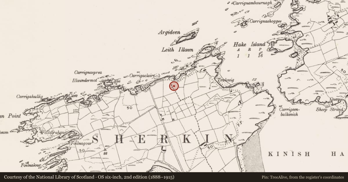
Slide toward Today to fade the historical sheet and see the modern map underneath.
David Rumsey Map Collection, Stanford LibrariesDavid Rumsey Map Collection, Stanford LibrariesDavid Rumsey Map Collection, Stanford LibrariesDavid Rumsey Map Collection, Stanford Libraries
4 historical maps cover this location, the earliest the 1841 map "Ireland." (David Rumsey Map Collection, Stanford Libraries).
Historical maps covering this location
- 1841 · Ireland. (David Rumsey Map Collection, Stanford Libraries)
- 1866 · Ireland. (David Rumsey Map Collection, Stanford Libraries)
- 1868 · 4. Ireland. (David Rumsey Map Collection, Stanford Libraries)
- 1882 · Ireland (southern half). (David Rumsey Map Collection, Stanford Libraries)
This record in the National Monuments Service's Historic Environment Viewer ↗
The National Monuments Service's description
This feature was identified during the course of an archaeological assessment requested by local planning office in advance of planning application. Set in field on the north shore of Sherkin Island. A U-shaped feature was noticed on Google aerial photography. The western and southern sections of the U-shaped feature are distinguishable, but not prominent. It was not possible to distinguish the eastern section. There is a field boundary to the east and south of the feature. The boundary consists of a bank with an inner ditch. The U-shaped feature measured 18m in length, from the southwest edge to the northwest edge. It was not possible to measure the width of the feature, or length of the eastern section with any accuracy, due to indistinguishability. The width of the feature measures 15m at the southern end, 14.8m at the midway point, and 14m at the northern end. It was not possible to measure the height of the feature due to indistinct edges and significant grass growth.
Compiled by: Clodagh O'Sullivan
Date of revision/upload: 14 March 2022
Nearby in the register
- Souterrainunder 1 mi
- Burial groundunder 1 mi
- Promontory fort - coastalunder 1 mi
- Promontory fort - coastalunder 1 mi
Other entries of the same register within about three miles of this one, by straight line.