Sites and Monuments Record · Ireland
Mine - copper
Boulysallagh, County Cork, Ireland
The record
- Townland
- Boulysallagh
- County
- Cork
- Country
- Ireland
- First-edition OS map
- NULL
- Latest-edition OS map
- Not indicated
- Coordinates
- 51.48824, -9.72640
- SMR number
- CO147-034----
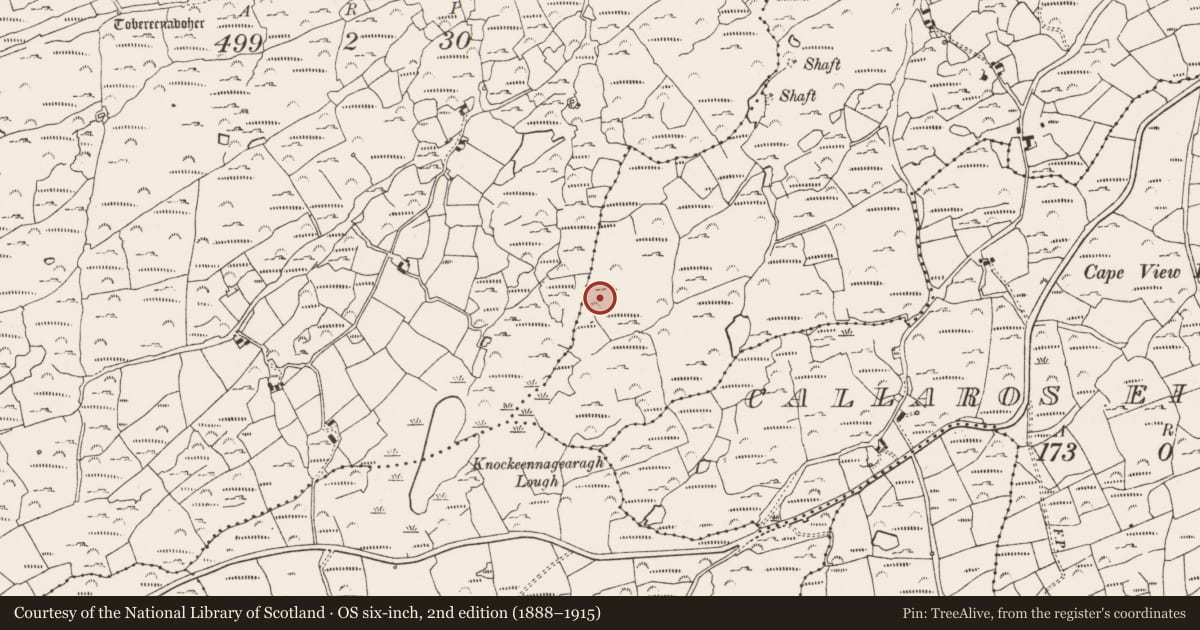
Slide toward Today to fade the historical sheet and see the modern map underneath.
David Rumsey Map Collection, Stanford LibrariesDavid Rumsey Map Collection, Stanford LibrariesDavid Rumsey Map Collection, Stanford LibrariesDavid Rumsey Map Collection, Stanford Libraries
4 historical maps cover this location, the earliest the 1841 map "Ireland." (David Rumsey Map Collection, Stanford Libraries).
Historical maps covering this location
- 1841 · Ireland. (David Rumsey Map Collection, Stanford Libraries)
- 1866 · Ireland. (David Rumsey Map Collection, Stanford Libraries)
- 1868 · 4. Ireland. (David Rumsey Map Collection, Stanford Libraries)
- 1882 · Ireland (southern half). (David Rumsey Map Collection, Stanford Libraries)
This record in the National Monuments Service's Historic Environment Viewer ↗
The National Monuments Service's description
On W-facing slope above pasture, 1.3km SW of Goleen village. Complex of mine workings on "Danes Lode"; discovered 1852-3 during mineral exploration. 1853 exploratory shaft and horizontal level at base of hillslope; shaft infilled; horizontal level extant, driven 075°; (L 6m; Wth 1.2m; H 1.6m); drill-holes on mine walls. 5-6m above 19th century trial, two grass-covered depressions (L 6-7.5m; Wth 3.5-2.5m; D 1-2m), with eroded spoil dumps. Three smaller depressions upslope. Below workings on level ground, low spoil mound (c. 20m N-S; c. 15m E-W); modern disturbance, stone mauls of Mt. Gabriel-type exposed. (O'Brien 1990)
A charcoal sample recovered from a depth of 1m within the mine sediment has been radiocarbon dated to 3480±35 BP (GrN-25561) (O'Brien 2002, 40).
The above description is derived from the published 'Archaeological Inventory of County Cork. Volume 1: West Cork' (Dublin: Stationery Office, 1992). In certain instances the entries have been revised and updated in the light of recent research.
Date of upload/revision: 14 January 2009
Nearby in the register
- Ritual site - holy wellunder 1 mi
- Mine - copperunder 1 mi
- Cupmarked stoneunder 1 mi
- Fulacht fiaunder 1 mi
Other entries of the same register within about three miles of this one, by straight line.