Sites and Monuments Record · Ireland
Burial ground
Carrigillihy, County Cork, Ireland
The record
- Townland
- Carrigillihy
- County
- Cork
- Country
- Ireland
- First-edition OS map
- NULL
- Latest-edition OS map
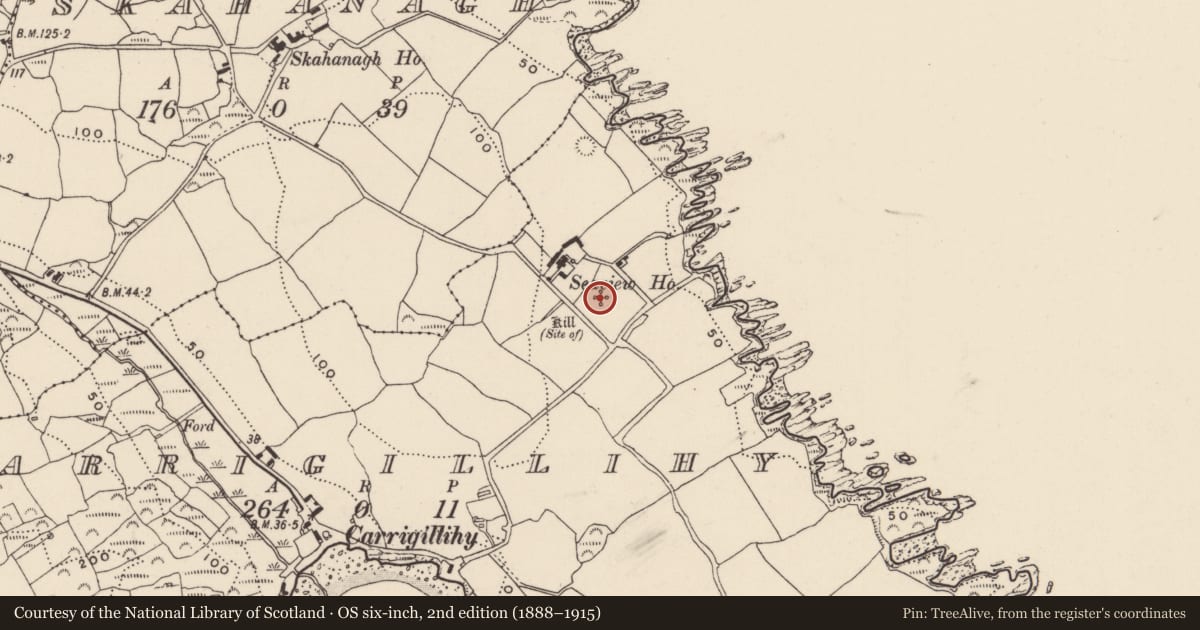
- Kill (site of ) (1902)
- Coordinates
- 51.54330, -9.11796
- SMR number
- CO142-092002-
Slide toward Today to fade the historical sheet and see the modern map underneath.
David Rumsey Map Collection, Stanford LibrariesDavid Rumsey Map Collection, Stanford LibrariesDavid Rumsey Map Collection, Stanford LibrariesDavid Rumsey Map Collection, Stanford Libraries
4 historical maps cover this location, the earliest the 1841 map "Ireland." (David Rumsey Map Collection, Stanford Libraries).
Historical maps covering this location
- 1841 · Ireland. (David Rumsey Map Collection, Stanford Libraries)
- 1866 · Ireland. (David Rumsey Map Collection, Stanford Libraries)
- 1868 · 4. Ireland. (David Rumsey Map Collection, Stanford Libraries)
- 1882 · Ireland (southern half). (David Rumsey Map Collection, Stanford Libraries)
This record in the National Monuments Service's Historic Environment Viewer ↗
The National Monuments Service's description
In pasture, on gentle E-facing slope, on W side of Glandore estuary. Rectangular enclosure (14.5m NE-SW; 6.3m NW-SE) defined by stone wall (H 0.8m; Wth c. 0.95m); area inside raised up to near top of walls - uneven surface with loose stones. Smith (1750 vol. 1, 263) stated 'at Carigiliky...extensive ruins were discovered...of the Abbey de Sancto Mauro'. This assertion that here is a Cistercian abbey, is supported by local tradition (O'Sullivan 1944, 1-9). However, the correct location of this abbey would appear to be at Aghmanister (CO136-022---), being moved later to Abbey Mahon (CO136-030003-) (Gwynn and Hadcock 1988, 125; Stalley 1987, 241). However, there is no doubt that this is site of burial ground of some antiquity.
The above description is derived from the published 'Archaeological Inventory of County Cork. Volume 1: West Cork' (Dublin: Stationery Office, 1992). In certain instances the entries have been revised and updated in the light of recent research.
Date of upload/revision: 14 January 2009
Nearby in the register
- Ritual site - holy wellunder 1 mi
- Enclosureunder 1 mi
- House - early medievalunder 1 mi
- House - Bronze Ageunder 1 mi
Other entries of the same register within about three miles of this one, by straight line.