Sites and Monuments Record · Ireland
Megalithic structure
Bunalunn, County Cork, Ireland
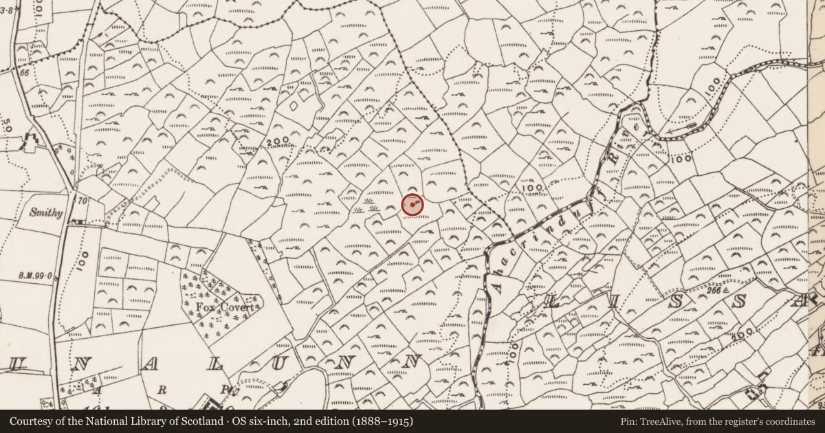
The record
- Townland
- Bunalunn
- County
- Cork
- Country
- Ireland
- First-edition OS map
- NULL
- Latest-edition OS map
- Not indicated
- Coordinates
- 51.58766, -9.25638
- SMR number
- CO132-084----
Slide toward Today to fade the historical sheet and see the modern map underneath.
David Rumsey Map Collection, Stanford LibrariesDavid Rumsey Map Collection, Stanford LibrariesDavid Rumsey Map Collection, Stanford LibrariesDavid Rumsey Map Collection, Stanford Libraries
4 historical maps cover this location, the earliest the 1790 map "Composite: Ireland." (David Rumsey Map Collection, Stanford Libraries).
Historical maps covering this location
- 1790 · Composite: Ireland. (David Rumsey Map Collection, Stanford Libraries)
- 1868 · 4. Ireland. (David Rumsey Map Collection, Stanford Libraries)
- 1882 · Ireland (southern half). (David Rumsey Map Collection, Stanford Libraries)
- 1891 · Ireland 16 (David Rumsey Map Collection, Stanford Libraries)
This record in the National Monuments Service's Historic Environment Viewer ↗
The National Monuments Service's description
On the N edge of an E-W ridge of outcropping rock in poorly drained scrubland, covered partially by furze and sally bushes, heather and ferns. A line of five stone uprights, aligned E-W, two contiguous (H 0.5m; 0.76m x 0.28m; H 0.86m; 1.06m x 0.3m) at W, with a gap of 0.65m, followed by three contiguous slabs (H 0.46m; 1.28m x 0.18m; H 0.5m; 1m x 0.3m; H 0.87m; 1.1m x 0.26m). A stone (0.73m x 0.51m; T 0.2m) lying immediately to the N of the gap may have been part of the alignment. Beyond the last upright at the E end, and separated from it by a wedged in stone, are two stones side by side, leaning heavily to the N. Two stones are exposed c. 1-2m to the W of the alignment, the easternmost of which may be outcropping rock. An outcropping rock face rises c. 5m to the S of the alignment and the base of the face is strewn with slabs of rock.
The above description is derived from 'The Archaeological Inventory of County Cork. Volume 5' (Dublin: Stationery Office, 2009).
Date of upload: 22 December 2009
Nearby in the register
- Burial groundunder 1 mi
- Designed landscape - tree-ringunder 1 mi
- Ringfort - rathunder 1 mi
- Ringfort - rathunder 1 mi
Other entries of the same register within about three miles of this one, by straight line.