Sites and Monuments Record · Ireland
Bullaun stone
Maulinward, County Cork, Ireland
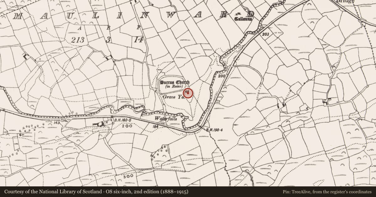
The record
- Townland
- Maulinward
- County
- Cork
- Country
- Ireland
- Coordinates
- 51.63484, -9.46170
- SMR number
- CO131-007005-
Slide toward Today to fade the historical sheet and see the modern map underneath.
David Rumsey Map Collection, Stanford LibrariesDavid Rumsey Map Collection, Stanford LibrariesDavid Rumsey Map Collection, Stanford LibrariesDavid Rumsey Map Collection, Stanford Libraries
4 historical maps cover this location, the earliest the 1790 map "Composite: Ireland." (David Rumsey Map Collection, Stanford Libraries).
Historical maps covering this location
- 1790 · Composite: Ireland. (David Rumsey Map Collection, Stanford Libraries)
- 1869 · Ireland. (David Rumsey Map Collection, Stanford Libraries)
- 1882 · Ireland (southern half). (David Rumsey Map Collection, Stanford Libraries)
- 1891 · Ireland 16 (David Rumsey Map Collection, Stanford Libraries)
This record in the National Monuments Service's Historic Environment Viewer ↗
The National Monuments Service's description
A smooth, sub-rectangular stone (0.25m x 0.3m) with a small bowl shaped bullaun (diam. 0.13m; D 0.05m) at its centre which has been set into a gap in the southern wall of Durrus Church CO131-007002), now in ruins. This bullaun is still venerated and it is full of coins deposited in its bowl. There are also some religious statues, a cross and a rosary. Immediately next to it is a fragment of cranium also used for offerings.
Compiled by: Tony Miller
Date of upload: 6 February 2015
Nearby in the register
- Churchunder 1 mi
- Cross-slabunder 1 mi
- Graveyardunder 1 mi
- Stone rowunder 1 mi
Other entries of the same register within about three miles of this one, by straight line.