Sites and Monuments Record · Ireland
Megalithic tomb - wedge tomb
Milane, County Cork, Ireland
The record
- Townland
- Milane
- County
- Cork
- Country
- Ireland
- First-edition OS map
- NULL
- Latest-edition OS map
- Not indicated
- Coordinates
- 51.69714, -9.20101
- SMR number
- CO120-066----
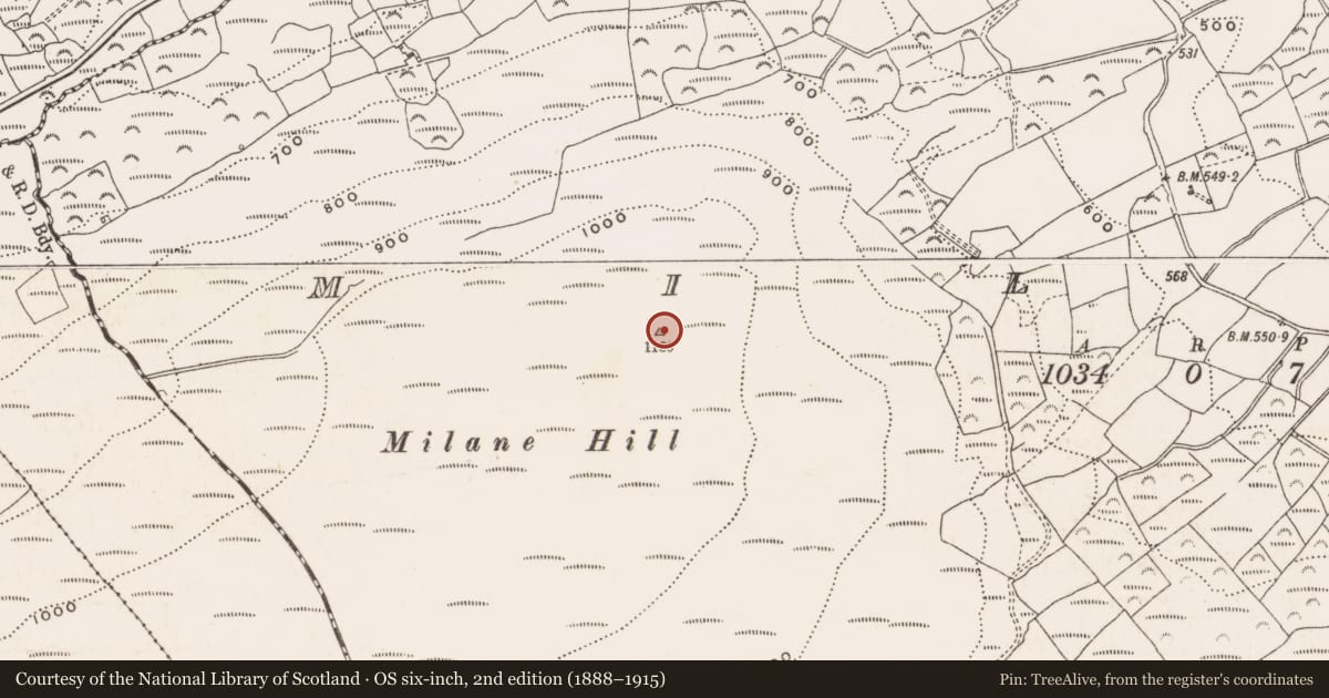
Slide toward Today to fade the historical sheet and see the modern map underneath.
David Rumsey Map Collection, Stanford LibrariesDavid Rumsey Map Collection, Stanford LibrariesDavid Rumsey Map Collection, Stanford LibrariesDavid Rumsey Map Collection, Stanford Libraries
4 historical maps cover this location, the earliest the 1790 map "Composite: Ireland." (David Rumsey Map Collection, Stanford Libraries).
Historical maps covering this location
- 1790 · Composite: Ireland. (David Rumsey Map Collection, Stanford Libraries)
- 1869 · Ireland. (David Rumsey Map Collection, Stanford Libraries)
- 1882 · Ireland (southern half). (David Rumsey Map Collection, Stanford Libraries)
- 1891 · Ireland 16 (David Rumsey Map Collection, Stanford Libraries)
This record in the National Monuments Service's Historic Environment Viewer ↗
The National Monuments Service's description
At the E end of the summit of Milane Hill with fine views over lowlands to the E. The ground rises to the WSW to the summit of the hill where wind turbines stand (erected in 2000). Only the W section of the gallery is exposed together with a single endstone (either a backstone or kerb) at the E of the monument. The total length of the monument to the endstone is 4.4m. Exposed stones indicate a gallery length of at least 2.3m. The gallery (Wth 1.07m at W, narrowing to 0.77m at the estimated centre) is aligned WSW-ENE and the W section is represented on each side by two sidestones and three outer-wall stones; the stones decrease in height from W to E. The W two outer-wall stones flanking the entrance are higher than their corresponding gallery sidestones. Cutway bog to the E of the monument is partly responsible for exposing the E endstone.
The above description is derived from 'The Archaeological Inventory of County Cork. Volume 5' (Dublin: Stationery Office, 2009).
Date of upload: 22 December 2009
Nearby in the register
- Ringfort - rathunder 1 mi
- Standing stoneunder 1 mi
- Ringfort - rathunder 1 mi
- Ringfort - rathunder 1 mi
Other entries of the same register within about three miles of this one, by straight line.