Sites and Monuments Record · Ireland
Milling complex
Ballinluig West, County Cork, Ireland
The record
- Townland
- Ballinluig West
- County
- Cork
- Country
- Ireland
- Latest-edition OS map
- Indicated (1934)
- Coordinates
- 51.75510, -8.40885
- SMR number
- CO112-012----
Slide toward Today to fade the historical sheet and see the modern map underneath.
David Rumsey Map Collection, Stanford LibrariesDavid Rumsey Map Collection, Stanford LibrariesDavid Rumsey Map Collection, Stanford LibrariesDavid Rumsey Map Collection, Stanford Libraries
4 historical maps cover this location, the earliest the 1790 map "Composite: Ireland." (David Rumsey Map Collection, Stanford Libraries).
Historical maps covering this location
- 1790 · Composite: Ireland. (David Rumsey Map Collection, Stanford Libraries)
- 1865 · Ireland, (South) Sheet. (David Rumsey Map Collection, Stanford Libraries)
- 1882 · Ireland (southern half). (David Rumsey Map Collection, Stanford Libraries)
- 1891 · Ireland 16 (David Rumsey Map Collection, Stanford Libraries)
This record in the National Monuments Service's Historic Environment Viewer ↗
The National Monuments Service's description
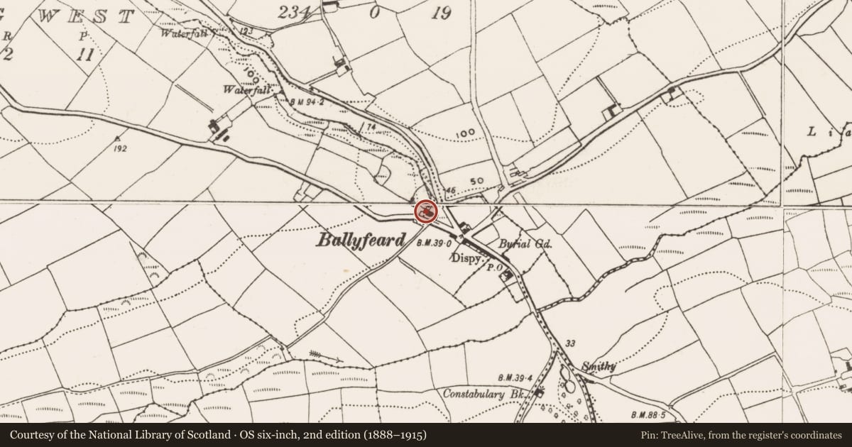
Mill complex immediately NW of Ballyfeard, on W side of stream. Indicated on 1842 OS 6-inch maps as 'Flour and Carding Mill' and 'Tuck mill'. Gable ended 3-storey, 3-bay flour mill; rectangular in plan (int.: 5.55m E-W; 6.6m N-S). Wheel-pit along N wall, not visible. Interior ground floor used as store.
Wooden clasp arm pit wheel (diam. 2.8m) at N end with iron cogs. Powered line shaft along W wall which transmitted power to a pair of millstones at 1st floor level which are still in situ. Wooden 1st floor collapsing. Stone built additions attached to SE and W one of which may have housed carding mill.
Tuck mill c. 30m to NW; gable ended, 2-storey, 3-bay structure; rectangular in plan (9.7m E-W; 6m N-S); built into W slope. Wheel-pit (Wth c. 1.33m) along N wall W end. Used as store.
The above description is derived from the published 'Archaeological Inventory of County Cork. Volume 2: East and South Cork' (Dublin: Stationery Office, 1994). In certain instances the entries have been revised and updated in the light of recent research.
Date of upload/revision: 14 January 2009
Nearby in the register
- Graveyardunder 1 mi
- Churchunder 1 mi
- Ringfort - rathunder 1 mi
- Cistunder 1 mi
Other entries of the same register within about three miles of this one, by straight line.