Sites and Monuments Record · Ireland
Children's burial ground
Moneylea, County Cork, Ireland
The record
- Townland
- Moneylea
- County
- Cork
- Country
- Ireland
- Coordinates
- 51.80774, -9.18142
- SMR number
- CO093-112----
Slide toward Today to fade the historical sheet and see the modern map underneath.
David Rumsey Map Collection, Stanford LibrariesDavid Rumsey Map Collection, Stanford LibrariesDavid Rumsey Map Collection, Stanford LibrariesDavid Rumsey Map Collection, Stanford Libraries
4 historical maps cover this location, the earliest the 1790 map "Composite: Ireland." (David Rumsey Map Collection, Stanford Libraries).
Historical maps covering this location
- 1790 · Composite: Ireland. (David Rumsey Map Collection, Stanford Libraries)
- 1882 · Ireland (southern half). (David Rumsey Map Collection, Stanford Libraries)
- 1883 · Ireland 3. (David Rumsey Map Collection, Stanford Libraries)
- 1891 · Ireland 16 (David Rumsey Map Collection, Stanford Libraries)
This record in the National Monuments Service's Historic Environment Viewer ↗
The National Monuments Service's description
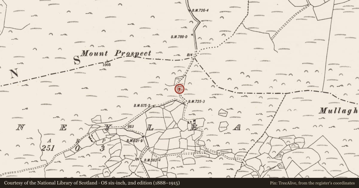
Area of rough grazing immediately to the east of the public road. The land is south facing, overlooking the valley of Moneylea and Coolmountain with a rock face close to the east. This piece of land was known locally as a Children's Burial Ground and indicated by a local resident. Today there is no evidence for burial markers or any enclosing feature.
Compiled by: Tony Miller
Date of upload/revision: 14 November 2018
Nearby in the register
- Souterrainunder 1 mi
- Enclosureunder 1 mi
- Stone rowunder 1 mi
- Standing stoneunder 1 mi
Other entries of the same register within about three miles of this one, by straight line.