Sites and Monuments Record · Ireland
Hut site
Shehy Beg, County Cork, Ireland
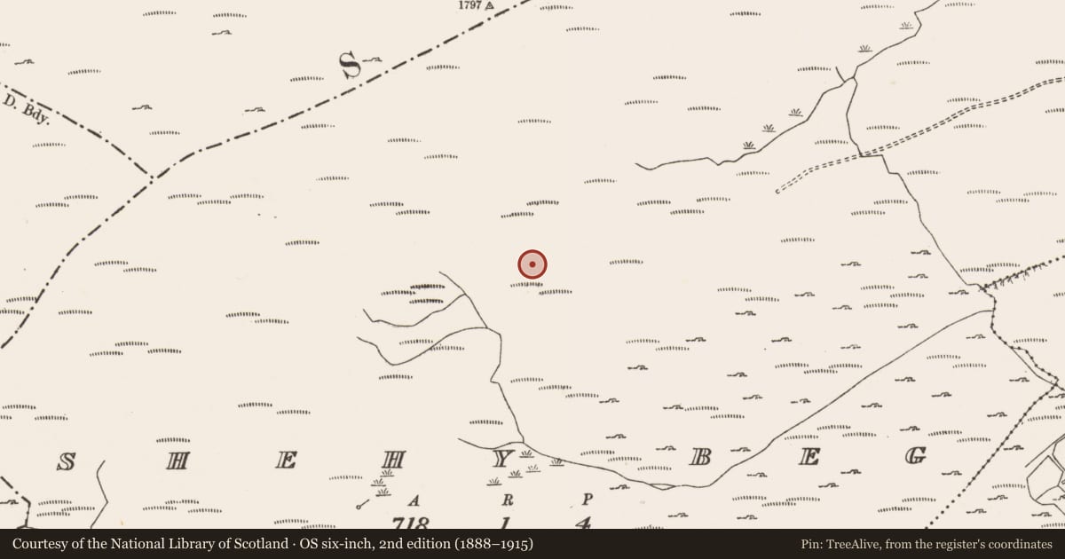
The record
- Townland
- Shehy Beg
- County
- Cork
- Country
- Ireland
- First-edition OS map
- NULL
- Latest-edition OS map
- Not indicated
- Coordinates
- 51.78299, -9.22942
- SMR number
- CO093-078001-
Slide toward Today to fade the historical sheet and see the modern map underneath.
David Rumsey Map Collection, Stanford LibrariesDavid Rumsey Map Collection, Stanford LibrariesDavid Rumsey Map Collection, Stanford LibrariesDavid Rumsey Map Collection, Stanford Libraries
4 historical maps cover this location, the earliest the 1790 map "Composite: Ireland." (David Rumsey Map Collection, Stanford Libraries).
Historical maps covering this location
- 1790 · Composite: Ireland. (David Rumsey Map Collection, Stanford Libraries)
- 1882 · Ireland (southern half). (David Rumsey Map Collection, Stanford Libraries)
- 1883 · Ireland 3. (David Rumsey Map Collection, Stanford Libraries)
- 1891 · Ireland 16 (David Rumsey Map Collection, Stanford Libraries)
This record in the National Monuments Service's Historic Environment Viewer ↗
The National Monuments Service's description
In rough hill grazing, on bog, on a terrace on the upper S-facing slopes of Shehy Beg. The remains of a circular hut site (2.6m N-S; 2.4m E-W) defined by a collapsed drystone wall (T 0.6m; H 0.4m) which protrudes above the surface of shallow bog. A jumble of stones adjoining the perimeter externally at the SE may represent the remains of an annexe or an entrance feature. Another hut site (CO093-078002-) is c. 20m to the NW.
The above description is derived from 'The Archaeological Inventory of County Cork. Volume 5' (Dublin: Stationery Office, 2009).
Date of upload: 22 December 2009
Nearby in the register
Other entries of the same register within about three miles of this one, by straight line.