Sites and Monuments Record · Ireland
Field boundary
Rougham, County Cork, Ireland
The record
- Townland
- Rougham
- County
- Cork
- Country
- Ireland
- Latest-edition OS map
- Not indicated
- Coordinates
- 51.76273, -9.63570
- SMR number
- CO090-016002-
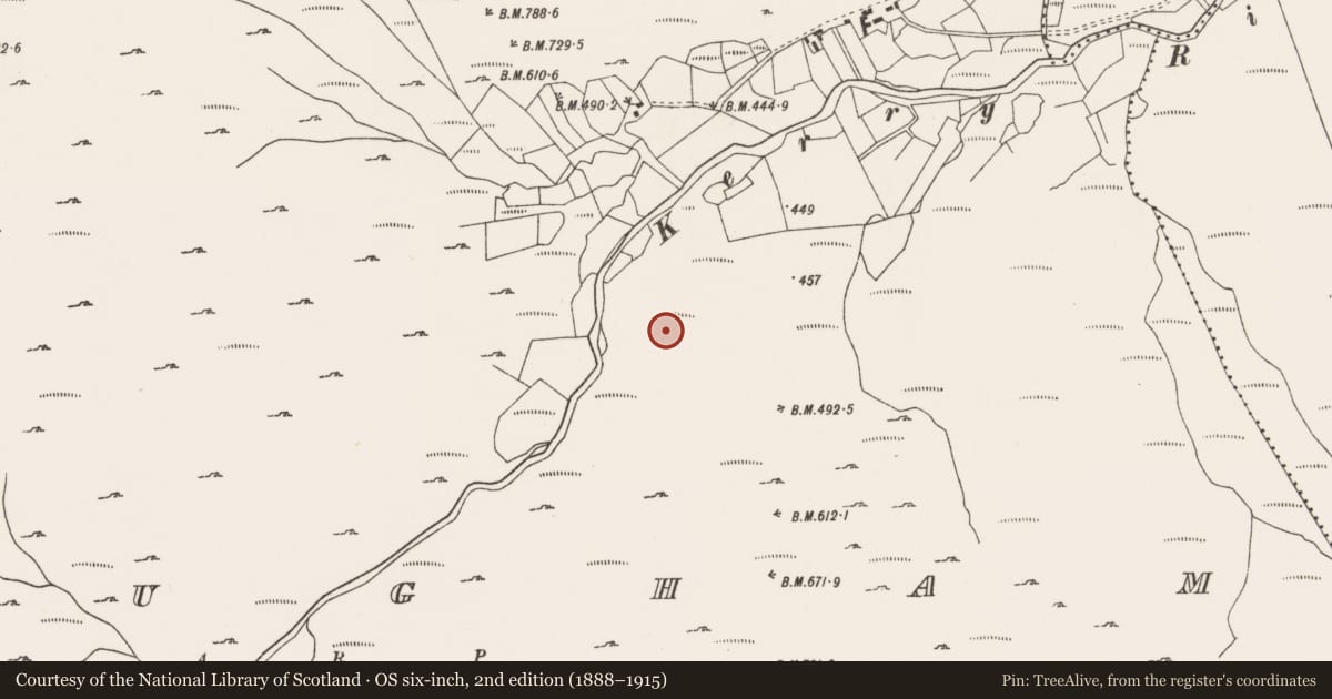
Slide toward Today to fade the historical sheet and see the modern map underneath.
David Rumsey Map Collection, Stanford LibrariesDavid Rumsey Map Collection, Stanford LibrariesDavid Rumsey Map Collection, Stanford LibrariesDavid Rumsey Map Collection, Stanford Libraries
4 historical maps cover this location, the earliest the 1790 map "Composite: Ireland." (David Rumsey Map Collection, Stanford Libraries).
Historical maps covering this location
- 1790 · Composite: Ireland. (David Rumsey Map Collection, Stanford Libraries)
- 1865 · Ireland, (South) Sheet. (David Rumsey Map Collection, Stanford Libraries)
- 1869 · Ireland. (David Rumsey Map Collection, Stanford Libraries)
- 1891 · Ireland 16 (David Rumsey Map Collection, Stanford Libraries)
This record in the National Monuments Service's Historic Environment Viewer ↗
The National Monuments Service's description
In rough pasture, on cutaway bog, in a level area to the S of the Kerry River. Turf- cutting has exposed a curvilinear stretch of a collapsed, relict, stone field boundary (T 0.8-1.4m; H 0.5m) which extends in a general E-W direction for a distance of c. 130m. Similar short stretches of wall branch off the main wall in a general N direction at irregular intervals. Some of the stone from these walls appear to have been used to build the more recent field boundaries in the general area. A boulder-burial (CO090-016001-) is c. 50m to the E.
The above description is derived from 'The Archaeological Inventory of County Cork. Volume 5' (Dublin: Stationery Office, 2009).
Date of upload: 22 December 2009
Nearby in the register
- Boulder-burialunder 1 mi
- Ringfort - rathunder 1 mi
- Souterrainunder 1 mi
- Enclosureunder 1 mi
Other entries of the same register within about three miles of this one, by straight line.