Sites and Monuments Record · Ireland
Field boundary
Dooneens (Muskerry West By., Inchigeelagh Par.), County Cork, Ireland
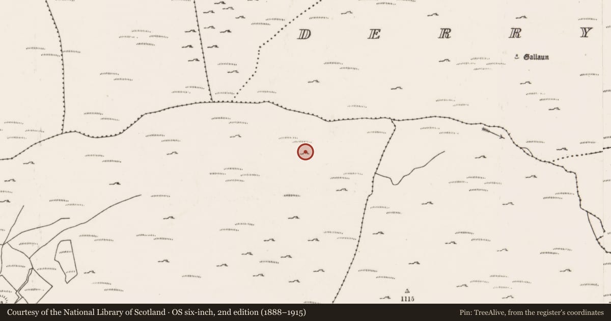
The record
- Townland
- Dooneens (Muskerry West By., Inchigeelagh Par.)
- County
- Cork
- Country
- Ireland
- Coordinates
- 51.81903, -9.25864
- SMR number
- CO080-089----
Slide toward Today to fade the historical sheet and see the modern map underneath.
David Rumsey Map Collection, Stanford LibrariesDavid Rumsey Map Collection, Stanford LibrariesDavid Rumsey Map Collection, Stanford LibrariesDavid Rumsey Map Collection, Stanford Libraries
4 historical maps cover this location, the earliest the 1790 map "Composite: Ireland." (David Rumsey Map Collection, Stanford Libraries).
Historical maps covering this location
- 1790 · Composite: Ireland. (David Rumsey Map Collection, Stanford Libraries)
- 1882 · Ireland (southern half). (David Rumsey Map Collection, Stanford Libraries)
- 1883 · Ireland 3. (David Rumsey Map Collection, Stanford Libraries)
- 1891 · Ireland 16 (David Rumsey Map Collection, Stanford Libraries)
This record in the National Monuments Service's Historic Environment Viewer ↗
The National Monuments Service's description
Described by Quinn and Carroll (2010) as ‘located in pasture and maybe associated with walls 53-57 given their orientation and proximity to each other. Consists of 2 walls perpendicular to each other orientated N/S and E/W respectively. Largely collapsed and overgrown with grass and furze. Length (N/S wall) 12m, Width 1.5m, Height 0.25m Length (E/W wall). Both consist of randomly constructed wall with no apparent construction method.'
Quinn, A and Carroll, M (2010) ‘Archaeological, Architectural and Cultural Heritage Assessment for a Proposed Wind Farm at Doonens Co. Cork’, Unpublished report, Tobar Archaeological Services.
Compiled by: Denis Power
Date of upload: 26 August 2013
References
Quinn, A and Carroll, M 2010 Archaeological, Architectural and Cultural Heritage Assessment for a Proposed Wind Farm at Doonens Co. Cork, Unpublished report, Tobar Archaeological Services.
Nearby in the register
- Field boundaryunder 1 mi
- Field boundaryunder 1 mi
- Enclosureunder 1 mi
- Hut siteunder 1 mi
Other entries of the same register within about three miles of this one, by straight line.