Sites and Monuments Record · Ireland
Religious house - Cistercian monks
Townparks (Imokilly By., Middleton Par.), County Cork, Ireland
The record
- Townland
- Townparks (Imokilly By., Middleton Par.)
- County
- Cork
- Country
- Ireland
- First-edition OS map
- NULL
- Latest-edition OS map
- Not indicated
- Coordinates
- 51.91334, -8.17402
- SMR number
- CO076-063003-
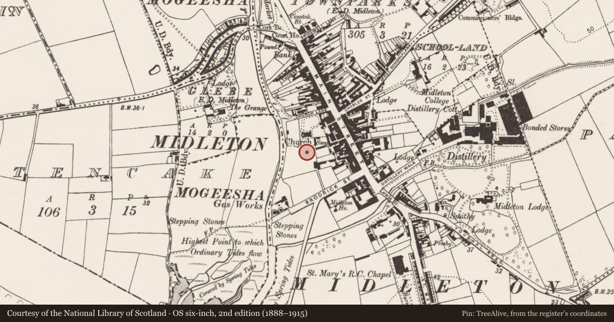
Slide toward Today to fade the historical sheet and see the modern map underneath.
David Rumsey Map Collection, Stanford LibrariesDavid Rumsey Map Collection, Stanford LibrariesDavid Rumsey Map Collection, Stanford LibrariesDavid Rumsey Map Collection, Stanford Libraries
4 historical maps cover this location, the earliest the 1790 map "Composite: Ireland." (David Rumsey Map Collection, Stanford Libraries).
Historical maps covering this location
- 1790 · Composite: Ireland. (David Rumsey Map Collection, Stanford Libraries)
- 1865 · Ireland, (South) Sheet. (David Rumsey Map Collection, Stanford Libraries)
- 1882 · Ireland (southern half). (David Rumsey Map Collection, Stanford Libraries)
- 1891 · Ireland 16 (David Rumsey Map Collection, Stanford Libraries)
This record in the National Monuments Service's Historic Environment Viewer ↗
The National Monuments Service's description
Cistercian abbey of Chore, also called St. Mary of Chore (Gwynn & Hadcock 1988, 140), founded in 1180 'almost certainly by Irish and not Anglo-Normans' (Stalley 1987, 248). In '1541 the jurors found that the abbey church had been parochial and that all other buildings on the one-acre site were necessary for the farm' (Gwynn & Hadcock ibid); supressed in 1543 (ibid); in 1580 Seneschal of Imokilly 'retired to the abbey whence he was also expelled, probably with much damage to the building' (Power 1929, 23); in ruins in 1615 (Brady 1863, vol. 2, 107). According to Lewis (1837, vol. 2, 369-70), 'last remains of it were taken down to afford a site for the present church'. Site now occupied by Midleton C of I church and graveyard (CO076-06301- and 02-). No upstanding remains of abbey but some stones from it in graveyard including 'a latem edieval door head and a piece of circular shafting' (Stalley 1987, 248).
The above description is derived from the published 'Archaeological Inventory of County Cork. Volume 2: East and South Cork' (Dublin: Stationery Office, 1994). In certain instances the entries have been revised and updated in the light of recent research.
Date of upload/revision: 14 January 2009
Nearby in the register
- Churchunder 1 mi
- Graveyardunder 1 mi
- Market-houseunder 1 mi
- Historic townunder 1 mi
Other entries of the same register within about three miles of this one, by straight line.