Sites and Monuments Record · Ireland
Kiln - corn-drying
Castleview (Barrymore By.), County Cork, Ireland
The record
- Townland
- Castleview (Barrymore By.)
- County
- Cork
- Country
- Ireland
- First-edition OS map
- NULL
- Latest-edition OS map
- Not indicated
- Coordinates
- 51.90352, -8.36243
- SMR number
- CO075-085----
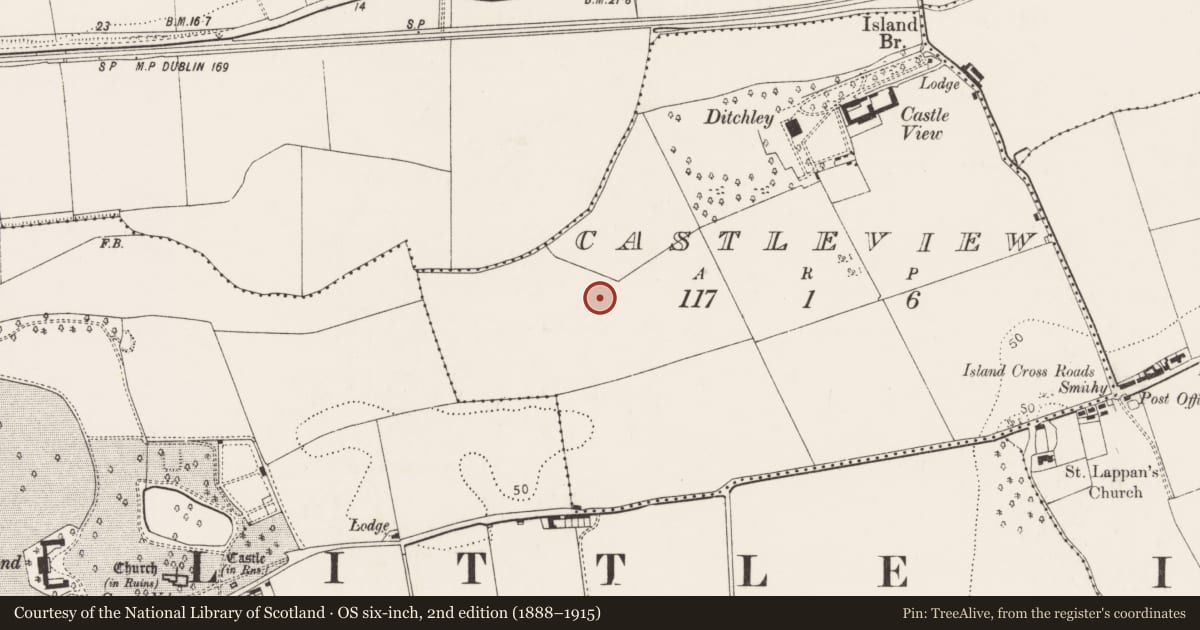
Slide toward Today to fade the historical sheet and see the modern map underneath.
David Rumsey Map Collection, Stanford LibrariesDavid Rumsey Map Collection, Stanford LibrariesDavid Rumsey Map Collection, Stanford LibrariesDavid Rumsey Map Collection, Stanford Libraries
4 historical maps cover this location, the earliest the 1790 map "Composite: Ireland." (David Rumsey Map Collection, Stanford Libraries).
Historical maps covering this location
- 1790 · Composite: Ireland. (David Rumsey Map Collection, Stanford Libraries)
- 1882 · Ireland (southern half). (David Rumsey Map Collection, Stanford Libraries)
- 1883 · Ireland 3. (David Rumsey Map Collection, Stanford Libraries)
- 1891 · Ireland 16 (David Rumsey Map Collection, Stanford Libraries)
This record in the National Monuments Service's Historic Environment Viewer ↗
The National Monuments Service's description
Excavated in 1999 in advance of the development of an industrial and retail complex on Little Island in Cork harbour. A linear stone-lined feature (L 3.54m; Wth 0.63m; D. 0.4m), uncovered in an extensive area of burning, was interpreted by the excavator (McCarthy 2004a, 60) as a probable kiln flue. The SW end of this feature cut a subrectangular pit (0.76m N-S; 0.48m E-W; D 0.56m) with sloping sides and a rounded base. This pit contained sand with charcoal, small stones and pebbles. A second pit (L 0.95m; 0.22m) found c. 0.2m S of the linear feature was linear with steep sides and a flat base and it was filled with charcoal-flecked sand, heat-shattered stones and ash. A similar feature (CO075-086----), an early medieval possible corn-drying kiln (CO075-084----) and a Bronze Age fulacht fia (CO075-082----) were also excavated in the immediate vicinity. (McCarthy 2000, 25; 2004a, 51-66)
The above description is derived from 'The Archaeological Inventory of County Cork. Volume 5' (Dublin: Stationery Office, 2009).
Date of upload: 22 December 2009
Nearby in the register
- Kiln - corn-dryingunder 1 mi
- Kiln - corn-dryingunder 1 mi
- Fulacht fiaunder 1 mi
- Castle - tower houseunder 1 mi
Other entries of the same register within about three miles of this one, by straight line.