Sites and Monuments Record · Ireland
Metalworking site
Knockacroghera, County Cork, Ireland
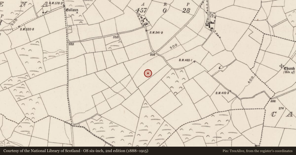
The record
- Townland
- Knockacroghera
- County
- Cork
- Country
- Ireland
- Coordinates
- 51.92086, -8.84953
- SMR number
- CO071-037001-
Slide toward Today to fade the historical sheet and see the modern map underneath.
David Rumsey Map Collection, Stanford LibrariesDavid Rumsey Map Collection, Stanford LibrariesDavid Rumsey Map Collection, Stanford LibrariesDavid Rumsey Map Collection, Stanford Libraries
4 historical maps cover this location, the earliest the 1790 map "Composite: Ireland." (David Rumsey Map Collection, Stanford Libraries).
Historical maps covering this location
- 1790 · Composite: Ireland. (David Rumsey Map Collection, Stanford Libraries)
- 1882 · Ireland (southern half). (David Rumsey Map Collection, Stanford Libraries)
- 1883 · Ireland 3. (David Rumsey Map Collection, Stanford Libraries)
- 1891 · Ireland 16 (David Rumsey Map Collection, Stanford Libraries)
This record in the National Monuments Service's Historic Environment Viewer ↗
The National Monuments Service's description
During field walking over a newly ploughed field in 1982 an area of burnt material was found. Closer examination revealed some large pieces of slag and some stone slabs with burnt marks on them. Upon examination, one of the iron slag piece was thought to be the result of 17th or 18th century iron working.
Compiled by: Cork Archaeological Survey
Nearby in the register
- Fulacht fiaunder 1 mi
- Fulacht fiaunder 1 mi
- Standing stoneunder 1 mi
- Fulacht fiaunder 1 mi
Other entries of the same register within about three miles of this one, by straight line.