Sites and Monuments Record · Ireland
Enclosure
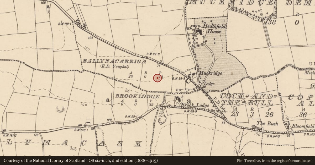
Ballynacarriga (Imokilly By., Youghal Par.), County Cork, Ireland
The record
- Townland
- Ballynacarriga (Imokilly By., Youghal Par.)
- County
- Cork
- Country
- Ireland
- First-edition OS map
- NULL
- Latest-edition OS map
- Not indicated
- Coordinates
- 51.96423, -7.88036
- SMR number
- CO067-087----
Slide toward Today to fade the historical sheet and see the modern map underneath.
David Rumsey Map Collection, Stanford LibrariesDavid Rumsey Map Collection, Stanford LibrariesDavid Rumsey Map Collection, Stanford LibrariesDavid Rumsey Map Collection, Stanford Libraries
4 historical maps cover this location, the earliest the 1790 map "Composite: Ireland." (David Rumsey Map Collection, Stanford Libraries).
Historical maps covering this location
- 1790 · Composite: Ireland. (David Rumsey Map Collection, Stanford Libraries)
- 1865 · Ireland, (South) Sheet. (David Rumsey Map Collection, Stanford Libraries)
- 1882 · Ireland (southern half). (David Rumsey Map Collection, Stanford Libraries)
- 1891 · Ireland 16 (David Rumsey Map Collection, Stanford Libraries)
This record in the National Monuments Service's Historic Environment Viewer ↗
The National Monuments Service's description
On the N side of a stream valley, on a S-facing slope and immediately to the N of another similar enclosure (CO067-086----). This enclosure (c. 51m E-W; 47m N-S) was discovered and excavated in advance of the construction of the N25 Youghal Bypass in 2001 (Noonan 2003e, 29-30). Its N and E sides are defined by a U-shaped fosse (Wth 3.3m; D c. 3m) and its S side is defined by the N fosse of the adjoining enclosure. The remains of three circular structures (CO067-087001-, CO067-087002-, CO067-087003-), three corn-drying kilns (CO067-087004-, CO067-087005-, CO067-087006-) and a possible souterrain (CO067-087007-) were found within the E half of the enclosure. A radiocarbon date of 'cal. AD 620-700 (cal. BP 1320-1250)' was obtained from the lowest fill of the fosse (Noonan 2003e, 29-30). The excavator concluded that this enclosure was a 7th-century extension to the enclosure adjoining it to the S (CO067-086----) (Noonan et al. 2004, 49).
The above description is derived from 'The Archaeological Inventory of County Cork. Volume 5' (Dublin: Stationery Office, 2009).
Date of upload: 22 December 2009
Nearby in the register
- Structureunder 1 mi
- Structureunder 1 mi
- Kiln - corn-dryingunder 1 mi
- Kiln - corn-dryingunder 1 mi
Other entries of the same register within about three miles of this one, by straight line.