Sites and Monuments Record · Ireland
Brickworks
Muckridge, County Cork, Ireland
The record
- Townland
- Muckridge
- County
- Cork
- Country
- Ireland
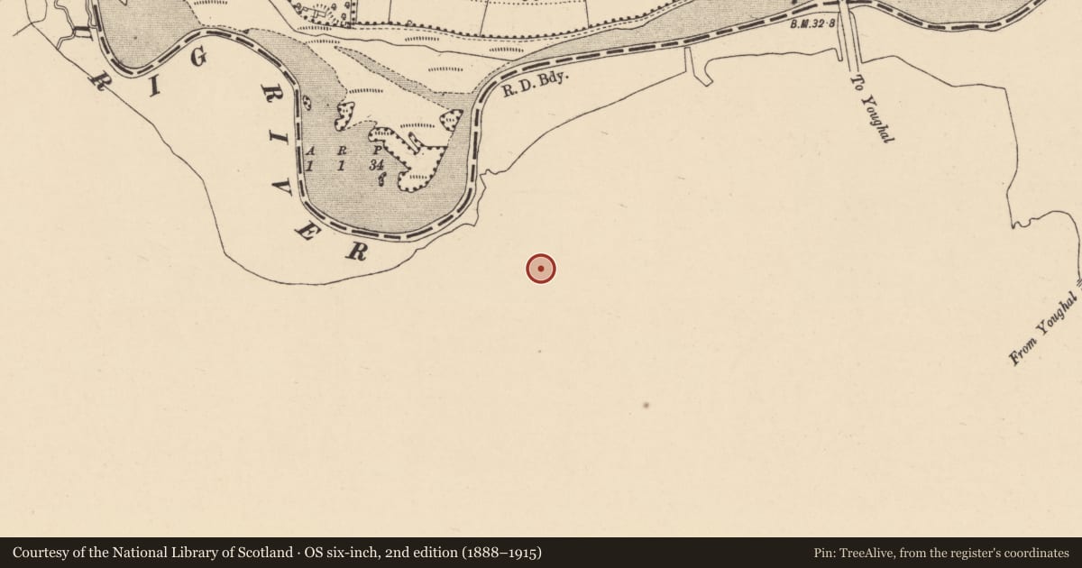
- Latest-edition OS map
- Youghal Brick Works (1935)
- Coordinates
- 51.97189, -7.87218
- SMR number
- CO067-012----
Slide toward Today to fade the historical sheet and see the modern map underneath.
David Rumsey Map Collection, Stanford LibrariesDavid Rumsey Map Collection, Stanford LibrariesDavid Rumsey Map Collection, Stanford LibrariesDavid Rumsey Map Collection, Stanford Libraries
4 historical maps cover this location, the earliest the 1790 map "Composite: Ireland." (David Rumsey Map Collection, Stanford Libraries).
Historical maps covering this location
- 1790 · Composite: Ireland. (David Rumsey Map Collection, Stanford Libraries)
- 1865 · Ireland, (South) Sheet. (David Rumsey Map Collection, Stanford Libraries)
- 1882 · Ireland (southern half). (David Rumsey Map Collection, Stanford Libraries)
- 1891 · Ireland 16 (David Rumsey Map Collection, Stanford Libraries)
This record in the National Monuments Service's Historic Environment Viewer ↗
The National Monuments Service's description
To S of Tourig river, just W of area named 'Old Brick Field' on 1842 OS 6-inch map, to S of 'Ordnance Ground'. Small section of late 19th/early 20th century brickworks survives; on site of earlier structures. Rectangular Hoffman Continuous kiln remains, erected 1895 (Breslin 1991, 138). Brick-built (33.4m N-S; 18.3m E-W), consisting of 12 kiln chambers arranged in 2 parallel rows with thick dividing wall between them. Now used as cattle shelter. Tall chimney (base: 3.6m x 3.6m) free standing at S end. Other remains include floors of drying sheds, concrete base of steam engine, foundation of Mill house and office buildings. A more technologically advanced continuous kiln was built in 1912 - 'Buhrer Mechanical Draught Kiln' - but was dismantled in 1930s (Breslin 1991, 110). Area of 'Old Brick Field' contains numerous grass-covered humps; bricks everywhere.
The above description is derived from the published 'Archaeological Inventory of County Cork. Volume 2: East and South Cork' (Dublin: Stationery Office, 1994). In certain instances the entries have been revised and updated in the light of recent research.
Date of upload/revision: 14 January 2009
Nearby in the register
- Standing stoneunder 1 mi
- Fulacht fiaunder 1 mi
- Country houseunder 1 mi
- Pit - excavatedunder 1 mi
Other entries of the same register within about three miles of this one, by straight line.