Sites and Monuments Record · Ireland
Metalworking site
Kilrussane, County Cork, Ireland
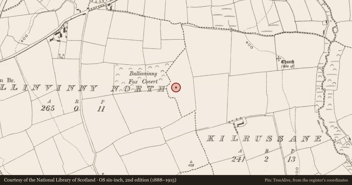
The record
- Townland
- Kilrussane
- County
- Cork
- Country
- Ireland
- First-edition OS map
- NULL
- Latest-edition OS map
- Not indicated
- Coordinates
- 51.97794, -8.36989
- SMR number
- CO064-170----
Slide toward Today to fade the historical sheet and see the modern map underneath.
David Rumsey Map Collection, Stanford LibrariesDavid Rumsey Map Collection, Stanford LibrariesDavid Rumsey Map Collection, Stanford LibrariesDavid Rumsey Map Collection, Stanford Libraries
4 historical maps cover this location, the earliest the 1790 map "Composite: Ireland." (David Rumsey Map Collection, Stanford Libraries).
Historical maps covering this location
- 1790 · Composite: Ireland. (David Rumsey Map Collection, Stanford Libraries)
- 1882 · Ireland (southern half). (David Rumsey Map Collection, Stanford Libraries)
- 1883 · Ireland 3. (David Rumsey Map Collection, Stanford Libraries)
- 1891 · Ireland 16 (David Rumsey Map Collection, Stanford Libraries)
This record in the National Monuments Service's Historic Environment Viewer ↗
The National Monuments Service's description
This metalworking site was excavated in 2001 in advance of the construction of the N8 Glanmire-Watergrasshill Bypass and comprised five bowl furnaces and a possible forging pit. The furnaces (diam. 0.35-0.45m; max. D 0.16m), which were all truncated, were filled with charcoal-rich deposits and iron slag inclusions and most of them were clay-lined. Analysis of the metallurgical waste indicated that the furnaces were used to smelt iron blooms from bog ore. Two of the furnaces were radiocarbon dated to between 352-42 cal. BC, placing the metalworking site firmly in the Irish Iron Age. According to the excavator (Sherlock 2005a, 18), metallurgical waste analysis indicated that the features may have represented a single season of metalworking activity and this suggestion is supported by the radiocarbon dates returned. Another metalworking site (CO064-175----) was situated c. 530m to the NE. (Sherlock 2003f, 46; Sherlock 2005a)
The above description is derived from 'The Archaeological Inventory of County Cork. Volume 5' (Dublin: Stationery Office, 2009).
Date of upload: 22 December 2009
Nearby in the register
- Ringfort - rathunder 1 mi
- Furnaceunder 1 mi
- Burnt moundunder 1 mi
- Enclosureunder 1 mi
Other entries of the same register within about three miles of this one, by straight line.