Sites and Monuments Record · Ireland
Ogham stone
An Tseanchluain, County Cork, Ireland
The record
- Townland
- An Tseanchluain
- County
- Cork
- Country
- Ireland
- Latest-edition OS map
- Galláin (1940)
- Coordinates
- 51.93521, -9.15294
- SMR number
- CO058-039005-
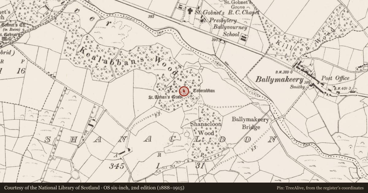
Slide toward Today to fade the historical sheet and see the modern map underneath.
David Rumsey Map Collection, Stanford LibrariesDavid Rumsey Map Collection, Stanford LibrariesDavid Rumsey Map Collection, Stanford LibrariesDavid Rumsey Map Collection, Stanford Libraries
4 historical maps cover this location, the earliest the 1790 map "Composite: Ireland." (David Rumsey Map Collection, Stanford Libraries).
Historical maps covering this location
- 1790 · Composite: Ireland. (David Rumsey Map Collection, Stanford Libraries)
- 1882 · Ireland (southern half). (David Rumsey Map Collection, Stanford Libraries)
- 1883 · Ireland 3. (David Rumsey Map Collection, Stanford Libraries)
- 1891 · Ireland 16 (David Rumsey Map Collection, Stanford Libraries)
This record in the National Monuments Service's Historic Environment Viewer ↗
The National Monuments Service's description
One of three ogham stones (CO058-039001-, CO058-039006-) flanking a low cairn which marks a penitential station (CO058-039002-). Located on the NE side of the cairn, this is an upright stone (H 1.07m; 0.35m x 0.15m) with an inscription cut along one edge. Macalister (1945, 130, no. 133) read the inscription as VAITEVIA, and noted 'there is no indication that there was ever any more writing on the stone'. O'Kelly (1952, 38, n24) describes the inscription as faint. (Power et al. 1997, no. 7988)
Compiled by: Nora White
Date of upload: 27 February 2016
Image provided by and copyright of Amanda Clarke 2016-2022 https://holywellscorkandkerry.com/
References
O'Kelly, M.J. 1952c St Gobnets house, Ballyvourney, Co. Cork. Journal of the Cork Historical and Archaeological Society 57, 18-40.
Power, D., Byrne, E., Egan, U., Lane, S. and Sleeman, M. 1997 Archaeological inventory of county Cork, vol. 3: Mid Cork. Dublin. Stationery Office.
Macalister, R.A.S. 1945 Corpus inscriptionum insularum celticarum. Dublin. Stationery Office.
Nearby in the register
- Cairn - unclassifiedunder 1 mi
- Ogham stoneunder 1 mi
- Ritual site - holy wellunder 1 mi
- Ogham stoneunder 1 mi
Other entries of the same register within about three miles of this one, by straight line.