Sites and Monuments Record · Ireland
Souterrain
Caherdesert, County Cork, Ireland
The record
- Townland
- Caherdesert
- County
- Cork
- Country
- Ireland
- First-edition OS map
- NULL
- Latest-edition OS map
- Souterrain (1936)
- Coordinates
- 52.02661, -8.22585
- SMR number
- CO054-021002-
Slide toward Today to fade the historical sheet and see the modern map underneath.
David Rumsey Map Collection, Stanford LibrariesDavid Rumsey Map Collection, Stanford LibrariesDavid Rumsey Map Collection, Stanford LibrariesDavid Rumsey Map Collection, Stanford Libraries
4 historical maps cover this location, the earliest the 1790 map "Composite: Ireland." (David Rumsey Map Collection, Stanford Libraries).
Historical maps covering this location
- 1790 · Composite: Ireland. (David Rumsey Map Collection, Stanford Libraries)
- 1865 · Ireland, (South) Sheet. (David Rumsey Map Collection, Stanford Libraries)
- 1882 · Ireland (southern half). (David Rumsey Map Collection, Stanford Libraries)
- 1891 · Ireland 16 (David Rumsey Map Collection, Stanford Libraries)
This record in the National Monuments Service's Historic Environment Viewer ↗
The National Monuments Service's description
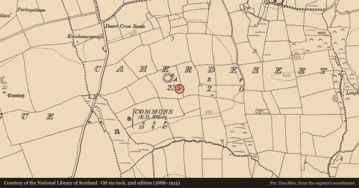
In pasture, atop hill. McCarthy (1977, 179), from local information, records stone-built souterrain with zig-zag plan consisting of 'passages rather than chambers' with 'jamb stones at angular bends in passages said to make movement difficult'. No visible surface trace. 1936 OS 6-inch map shows adjacent gallán (CO054-021003-). Aerial photograph (CASAP) shows circular enclosure (CO054-021001-) surrounding souterrain and standing stone. Possible cashel (CO054-020001-) and souterrain (CO054-020002-) c. 70m to NW.
The above description is derived from the published 'Archaeological Inventory of County Cork. Volume 2: East and South Cork' (Dublin: Stationery Office, 1994). In certain instances the entries have been revised and updated in the light of recent research.
Date of upload/revision: 14 January 2009
Nearby in the register
- Standing stoneunder 1 mi
- Enclosureunder 1 mi
- Souterrainunder 1 mi
- Ringfort - cashelunder 1 mi
Other entries of the same register within about three miles of this one, by straight line.