Sites and Monuments Record · Ireland
Excavation - miscellaneous
Scartbarry, County Cork, Ireland
The record
- Townland
- Scartbarry
- County
- Cork
- Country
- Ireland
- First-edition OS map
- NULL
- Latest-edition OS map
- Not indicated
- Coordinates
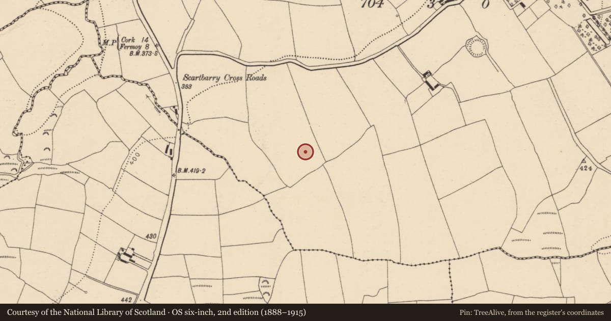
- 52.03546, -8.31846
- SMR number
- CO053-104----
Slide toward Today to fade the historical sheet and see the modern map underneath.
David Rumsey Map Collection, Stanford LibrariesDavid Rumsey Map Collection, Stanford LibrariesDavid Rumsey Map Collection, Stanford LibrariesDavid Rumsey Map Collection, Stanford Libraries
4 historical maps cover this location, the earliest the 1790 map "Composite: Ireland." (David Rumsey Map Collection, Stanford Libraries).
Historical maps covering this location
- 1790 · Composite: Ireland. (David Rumsey Map Collection, Stanford Libraries)
- 1865 · Ireland, (South) Sheet. (David Rumsey Map Collection, Stanford Libraries)
- 1882 · Ireland (southern half). (David Rumsey Map Collection, Stanford Libraries)
- 1891 · Ireland 16 (David Rumsey Map Collection, Stanford Libraries)
This record in the National Monuments Service's Historic Environment Viewer ↗
The National Monuments Service's description
Discovered in 2002 during archaeological investigations in advance of the construction of the N8 Rathcormac-Fermoy Bypass. Subsequent excavations in 2003 revealed a curving drainage trench (1.7m N-S x 0.5m; D 0.23m) which abutted a circular pit (diam. 1.24m; D 0.57m). This pit was connected to a similar pit (diam. 1.4m; D 0.55m) to the N via a linear gully. The drainage trench and the two associated pits were interpreted as a water collection feature where the gully acted as an 'overflow' from the S pit into the N pit, where the water was collected and stored (O'Connell 2006k, 50). The basal fill of the feature returned radiocarbon dates 1630-1380 cal. BC (ibid.). In addition, seven sherds of pottery, identified as middle Bronze Age domestic cordoned urn ware, were recovered from the basal fills of the N pit. A concentration of miscellaneous excavated features (CO053-111----) and a kiln (CO053-105----) were discovered in the nearby vicinity. (O'Connell 2006a, 75; 2006k)
The above description is derived from 'The Archaeological Inventory of County Cork. Volume 5' (Dublin: Stationery Office, 2009).
Date of upload: 22 December 2009
Nearby in the register
- Excavation - miscellaneousunder 1 mi
- Enclosureunder 1 mi
- Enclosureunder 1 mi
- Kiln - corn-dryingunder 1 mi
Other entries of the same register within about three miles of this one, by straight line.