Sites and Monuments Record · Ireland
Urn burial
Gortavehy East, County Cork, Ireland
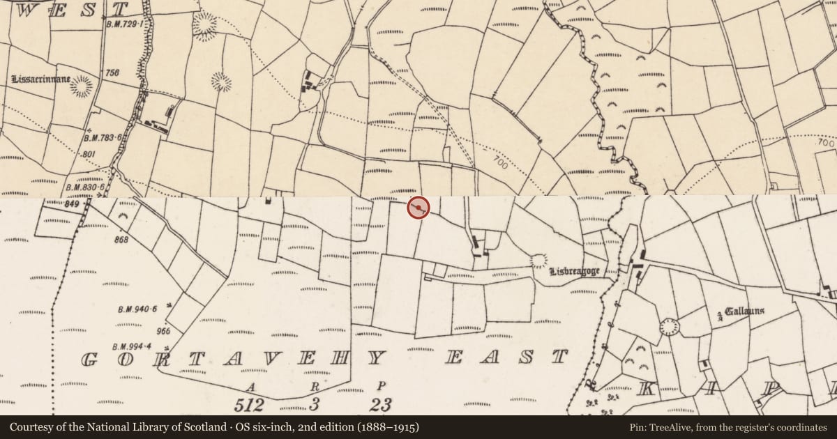
The record
- Townland
- Gortavehy East
- County
- Cork
- Country
- Ireland
- First-edition OS map
- NULL
- Latest-edition OS map
- Not indicated
- Coordinates
- 52.04303, -9.13588
- SMR number
- CO047-033----
Slide toward Today to fade the historical sheet and see the modern map underneath.
David Rumsey Map Collection, Stanford LibrariesDavid Rumsey Map Collection, Stanford LibrariesDavid Rumsey Map Collection, Stanford LibrariesDavid Rumsey Map Collection, Stanford Libraries
4 historical maps cover this location, the earliest the 1790 map "Composite: Ireland." (David Rumsey Map Collection, Stanford Libraries).
Historical maps covering this location
- 1790 · Composite: Ireland. (David Rumsey Map Collection, Stanford Libraries)
- 1865 · Ireland, (South) Sheet. (David Rumsey Map Collection, Stanford Libraries)
- 1883 · Ireland 3. (David Rumsey Map Collection, Stanford Libraries)
- 1891 · Ireland 16 (David Rumsey Map Collection, Stanford Libraries)
This record in the National Monuments Service's Historic Environment Viewer ↗
The National Monuments Service's description
In pasture, on N-facing slope, overlooking plain of Duhallow. In 1936, 'when ploughing for corn' (Broker 1937, 54), the landowner 'unearthed anancient urn which was broken by the plough....inverted on a flagstone very little wider than itself'; vessel described as '18 inches high and 12 inches wide'. Kavanagh (1973, 536) regards this as 'very unusual shape' for vessel of this type and doubts its accuracy. Slab (0.54m x 0.26m; Wth 0.07m) on which urn rested now lies on field fence at S end of field. Five small sherds of vessel now in National Museum, Dublin. Kavanagh (ibid.) dentifies them as part of an Encrusted Urn; internally, three bands and grooves extend 4cm below rim; externally, broad applied ribs create panelled effect; traces of perforation below decorative bands; body sherd slightly incised with alternating oblique strokes.
The above description is derived from the published 'Archaeological Inventory of County Cork. Volume 3: Mid Cork' (Dublin: Stationery Office, 1997). In certain instances the entries have been revised and updated in the light of recent research.
Date of upload/revision: 14 January 2009
Nearby in the register
- Fulacht fiaunder 1 mi
- Fulacht fiaunder 1 mi
- Fulacht fiaunder 1 mi
- Fulacht fiaunder 1 mi
Other entries of the same register within about three miles of this one, by straight line.