Sites and Monuments Record · Ireland
Fulacht fia
Kilcor South, County Cork, Ireland
The record
- Townland
- Kilcor South
- County
- Cork
- Country
- Ireland
- First-edition OS map
- NULL
- Latest-edition OS map
- Not indicated
- Coordinates
- 52.05489, -8.19695
- SMR number
- CO045-117----
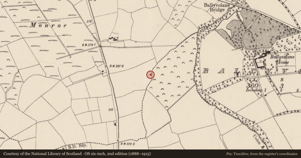
Slide toward Today to fade the historical sheet and see the modern map underneath.
David Rumsey Map Collection, Stanford LibrariesDavid Rumsey Map Collection, Stanford LibrariesDavid Rumsey Map Collection, Stanford LibrariesDavid Rumsey Map Collection, Stanford Libraries
4 historical maps cover this location, the earliest the 1790 map "Composite: Ireland." (David Rumsey Map Collection, Stanford Libraries).
Historical maps covering this location
- 1790 · Composite: Ireland. (David Rumsey Map Collection, Stanford Libraries)
- 1865 · Ireland, (South) Sheet. (David Rumsey Map Collection, Stanford Libraries)
- 1882 · Ireland (southern half). (David Rumsey Map Collection, Stanford Libraries)
- 1891 · Ireland 16 (David Rumsey Map Collection, Stanford Libraries)
This record in the National Monuments Service's Historic Environment Viewer ↗
The National Monuments Service's description
On N-facing slope of low hillock, abutting natural depression subject to flooding. Discovered during construction of Cork-Dublin gas pipeline; excavated September 1982 (Hurley 1987, 46-48). Excavation revealed pit (L4m; Wth 2.9m) containing wooden trough (L 1.4m; Wth 1.45m). Oak twigs lined trough base; E and N sides were faced with oak planks; only few twigs remained on W; S side comprised stone slab with oak plank forming 'step' feature. Wood from trough radiocarbon dated to 3185 ± 30 B.P. Hearth visible as area of oxidized clay bisected by modern drain; semi-circularrevetment of 10-12 stones on SE side. Excavator suggests mound of burnt material (originally roughly semi-circular in shape) was deliberately levelled to backfill pit. Second fulacht fiadh (CO045-116---) c. 80m to N.
The above description is derived from the published 'Archaeological Inventory of County Cork. Volume 2: East and South Cork' (Dublin: Stationery Office, 1994). In certain instances the entries have been revised and updated in the light of recent research.
Date of upload/revision: 14 January 2009
Nearby in the register
- Fulacht fiaunder 1 mi
- Fulacht fiaunder 1 mi
- Kiln - limeunder 1 mi
- Fulacht fiaunder 1 mi
Other entries of the same register within about three miles of this one, by straight line.