Sites and Monuments Record · Ireland
Ogham stone
Liscahane, County Cork, Ireland
The record
- Townland
- Liscahane
- County
- Cork
- Country
- Ireland
- Latest-edition OS map
- Not indicated
- Coordinates
- 52.05223, -9.04584
- SMR number
- CO039-062005-
Slide toward Today to fade the historical sheet and see the modern map underneath.
David Rumsey Map Collection, Stanford LibrariesDavid Rumsey Map Collection, Stanford LibrariesDavid Rumsey Map Collection, Stanford LibrariesDavid Rumsey Map Collection, Stanford Libraries
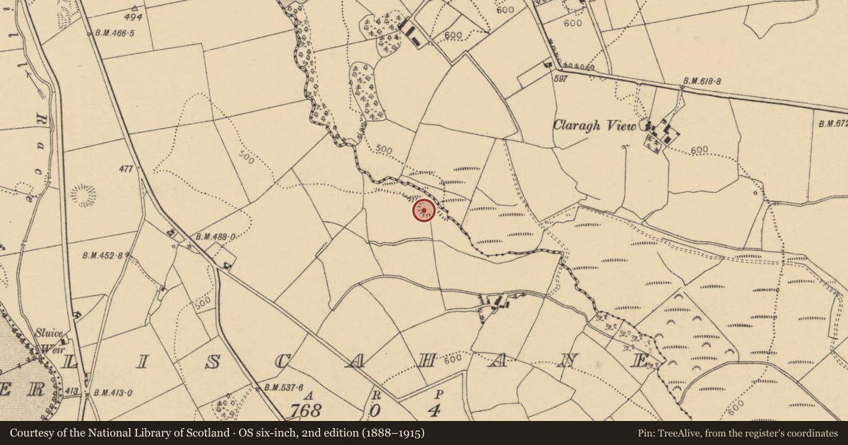
4 historical maps cover this location, the earliest the 1790 map "Composite: Ireland." (David Rumsey Map Collection, Stanford Libraries).
Historical maps covering this location
- 1790 · Composite: Ireland. (David Rumsey Map Collection, Stanford Libraries)
- 1882 · Ireland (southern half). (David Rumsey Map Collection, Stanford Libraries)
- 1883 · Ireland 3. (David Rumsey Map Collection, Stanford Libraries)
- 1891 · Ireland 16 (David Rumsey Map Collection, Stanford Libraries)
This record in the National Monuments Service's Historic Environment Viewer ↗
The National Monuments Service's description
This is the original location for one of two ogham stones (see also CO039-062004-) discovered in 1981 when a souterrain (CO039-062002-) within a ringfort (CO039-062001-) was uncovered during quarrying. The site was subsequently excavated and the two stones, which acted as lintels in chamber 2 of the souterrain, were removed to Millstreet Community School (see CO039-244002-). The other stone was later moved to Millstreet Museum where it is on permanent display (see CO039-244001-). The inscription on this stone (2.00m x .60m x .15m) was hidden when the lintel was in place (pers. comm. B. Ó Donnabháin). It reads upwards on the left-hand angle in its current position: CROCCAN MAQI DOMONIGART . (Power et al. 1997, no. 7977)
Compiled by: Nora White
Date of upload: 27 September 2017
References
Power, D., Byrne, E., Egan, U., Lane, S. and Sleeman, M. 1997 Archaeological inventory of county Cork, vol. 3: Mid Cork. Dublin. Stationery Office.
Nearby in the register
- Ringfort - rathunder 1 mi
- Souterrainunder 1 mi
- Urn burialunder 1 mi
- Ogham stoneunder 1 mi
Other entries of the same register within about three miles of this one, by straight line.