Sites and Monuments Record · Ireland
Kiln - corn-drying
Rath-Healy, County Cork, Ireland
The record
- Townland
- Rath-Healy
- County
- Cork
- Country
- Ireland
- First-edition OS map
- NULL
- Latest-edition OS map
- Not indicated
- Coordinates
- 52.14353, -8.26409
- SMR number
- CO035-138----
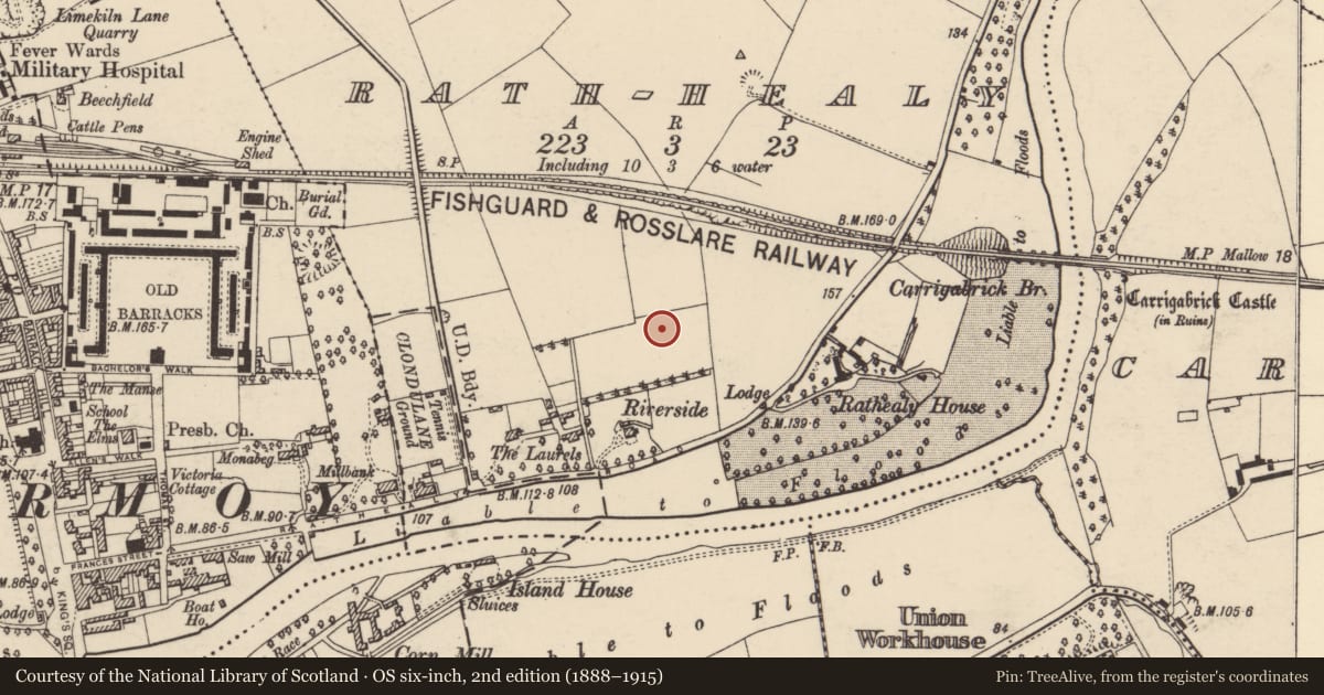
Slide toward Today to fade the historical sheet and see the modern map underneath.
David Rumsey Map Collection, Stanford LibrariesDavid Rumsey Map Collection, Stanford LibrariesDavid Rumsey Map Collection, Stanford LibrariesDavid Rumsey Map Collection, Stanford Libraries
4 historical maps cover this location, the earliest the 1790 map "Composite: Ireland." (David Rumsey Map Collection, Stanford Libraries).
Historical maps covering this location
- 1790 · Composite: Ireland. (David Rumsey Map Collection, Stanford Libraries)
- 1882 · Ireland (southern half). (David Rumsey Map Collection, Stanford Libraries)
- 1891 · Ireland 16 (David Rumsey Map Collection, Stanford Libraries)
- 1904 · Sheet 13. (David Rumsey Map Collection, Stanford Libraries)
This record in the National Monuments Service's Historic Environment Viewer ↗
The National Monuments Service's description
One of two corn-drying kilns (see CO035-137----) which were excavated along the route of the N8 Rathcormac-Fermoy Bypass in 2003. This figure-of-eight-shaped corn-drying kiln consisted of a pit (c. 2.3m E-W; max. Wth c. 1.2m), the waist of which divided it into two chambers: the W chamber (D c. 0.6m) and the E chamber (D c. 0.4m). The sides of both chambers sloped steeply to a flat base. The base of the W chamber had been oxidised to a deep red colour. Analysis of seeds obtained from the fills were predominantly barley. There was another corn-drying kiln (CO035-137----) situated c. 44m to the SW. According to the excavator (Linnane 2006, 44), despite their distance apart, both corn-drying kilns are considered to be closely contemporary because of their similarity of form and function. (O'Connell and Linnane 2006, 72; Linnane 2006)
The above description is derived from 'The Archaeological Inventory of County Cork. Volume 5' (Dublin: Stationery Office, 2009).
Date of upload: 22 December 2009
Nearby in the register
- Excavation - miscellaneousunder 1 mi
- Kiln - corn-dryingunder 1 mi
- Excavation - miscellaneousunder 1 mi
- Graveyardunder 1 mi
Other entries of the same register within about three miles of this one, by straight line.