Sites and Monuments Record · Ireland
Urn burial
Coolnahane, County Cork, Ireland
The record
- Townland
- Coolnahane
- County
- Cork
- Country
- Ireland
- First-edition OS map
- NULL
- Latest-edition OS map
- Not indicated
- Coordinates
- 52.15341, -8.83845
- SMR number
- CO031-023002-
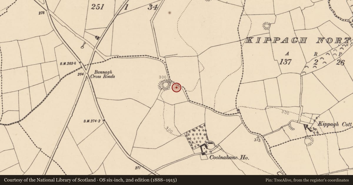
Slide toward Today to fade the historical sheet and see the modern map underneath.
David Rumsey Map Collection, Stanford LibrariesDavid Rumsey Map Collection, Stanford LibrariesDavid Rumsey Map Collection, Stanford LibrariesDavid Rumsey Map Collection, Stanford Libraries
4 historical maps cover this location, the earliest the 1790 map "Composite: Ireland." (David Rumsey Map Collection, Stanford Libraries).
Historical maps covering this location
- 1790 · Composite: Ireland. (David Rumsey Map Collection, Stanford Libraries)
- 1882 · Ireland (southern half). (David Rumsey Map Collection, Stanford Libraries)
- 1883 · Ireland 3. (David Rumsey Map Collection, Stanford Libraries)
- 1904 · Sheet 13. (David Rumsey Map Collection, Stanford Libraries)
This record in the National Monuments Service's Historic Environment Viewer ↗
The National Monuments Service's description
In pasture, c. 30m ESE of ringfort (CO031-02301-). Discovered in 1975 during mechanical excavation of drainage channel, revealing circular pit (diam. c. 0.85m; D. c. 0.95m) containing an inverted Encrusted Urn; investigated by O'Kelly and Shee (1974, 71-83). Pit described as having near vertical sides and a flat base; central area beneath urn was roughly paved and there was backfill of loose soil and rounded stones around urn (ibid., 73). Urn divided into two parts by applied horizontal rib; area between rib and rim decorated with a 'zig-zag band or fillet' and between shoulder and base by 'roughly scored lines forming a very loose chevron pattern which runs to a slightly splayed foot' (O'Kelly and Shee 1974, 74-5). Cremated remains of single adult and three fragments of a bone pin contained within urn (ibid. 76). (Doody 1986, Cork No. 25; Waddell 1990, 60-1)
The above description is derived from the published 'Archaeological Inventory of County Cork. Volume 4: North Cork' (Dublin: Stationery Office, 2000). In certain instances the entries have been revised and updated in the light of recent research.
Date of upload/revision: 14 January 2009
Nearby in the register
- Ringfort - rathunder 1 mi
- Fulacht fiaunder 1 mi
- Ringfort - rathunder 1 mi
- Fulacht fiaunder 1 mi
Other entries of the same register within about three miles of this one, by straight line.