Sites and Monuments Record · Ireland
Designed landscape - tea house
Ballydoyle, County Cork, Ireland
The record
- Townland
- Ballydoyle
- County
- Cork
- Country
- Ireland
- First-edition OS map
- NULL
- Latest-edition OS map
- Not indicated
- Coordinates
- 52.18726, -8.46358
- SMR number
- CO026-187----
Slide toward Today to fade the historical sheet and see the modern map underneath.
David Rumsey Map Collection, Stanford LibrariesDavid Rumsey Map Collection, Stanford LibrariesDavid Rumsey Map Collection, Stanford LibrariesDavid Rumsey Map Collection, Stanford Libraries
4 historical maps cover this location, the earliest the 1790 map "Composite: Ireland." (David Rumsey Map Collection, Stanford Libraries).
Historical maps covering this location
- 1790 · Composite: Ireland. (David Rumsey Map Collection, Stanford Libraries)
- 1882 · Ireland (southern half). (David Rumsey Map Collection, Stanford Libraries)
- 1883 · Ireland 3. (David Rumsey Map Collection, Stanford Libraries)
- 1904 · Sheet 13. (David Rumsey Map Collection, Stanford Libraries)
This record in the National Monuments Service's Historic Environment Viewer ↗
The National Monuments Service's description
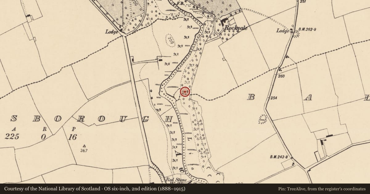
In woodland, atop steep E side of Awbeg River; immediately E of holy well (CO026-189---) and c. 400m S of Rockvale house and Tower (CO026-112---). Remains of stone-built rectangular structure (6m E-W; 6.6m N-S) with rectangular projection on E end of N side; walls (T c. 0.75m) stand to c. 3.5m high. External wall faced with irregular and unusual stones; internal walls smooth with some plaster fragments; some brick visible in E wall. Remains of possible door ope (Wth. 1.2m) in E wall. Described by Grove White (1905-25, vol. 4, 183) as 'a ruin built of very rude natural undressed stones, the walls being unusually thick. The doorway has a pointed arch...used as a summer house in 1841...erected as a teahouse by a Mrs Nagle. It was then thatched.' According to local information, there was a church site here.
The above description is derived from the published 'Archaeological Inventory of County Cork. Volume 4: North Cork' (Dublin: Stationery Office, 2000). In certain instances the entries have been revised and updated in the light of recent research.
Date of upload/revision: 14 January 2009
Nearby in the register
- Ritual site - holy wellunder 1 mi
- Quarryunder 1 mi
- Designed landscape - belvedereunder 1 mi
- Cistunder 1 mi
Other entries of the same register within about three miles of this one, by straight line.