Sites and Monuments Record · Ireland
House - Bronze Age
Mitchelstown, County Cork, Ireland
The record
- Townland
- Mitchelstown
- County
- Cork
- Country
- Ireland
- First-edition OS map
- NULL
- Latest-edition OS map
- Not indicated
- Coordinates
- 52.27457, -8.28099
- SMR number
- CO010-066----
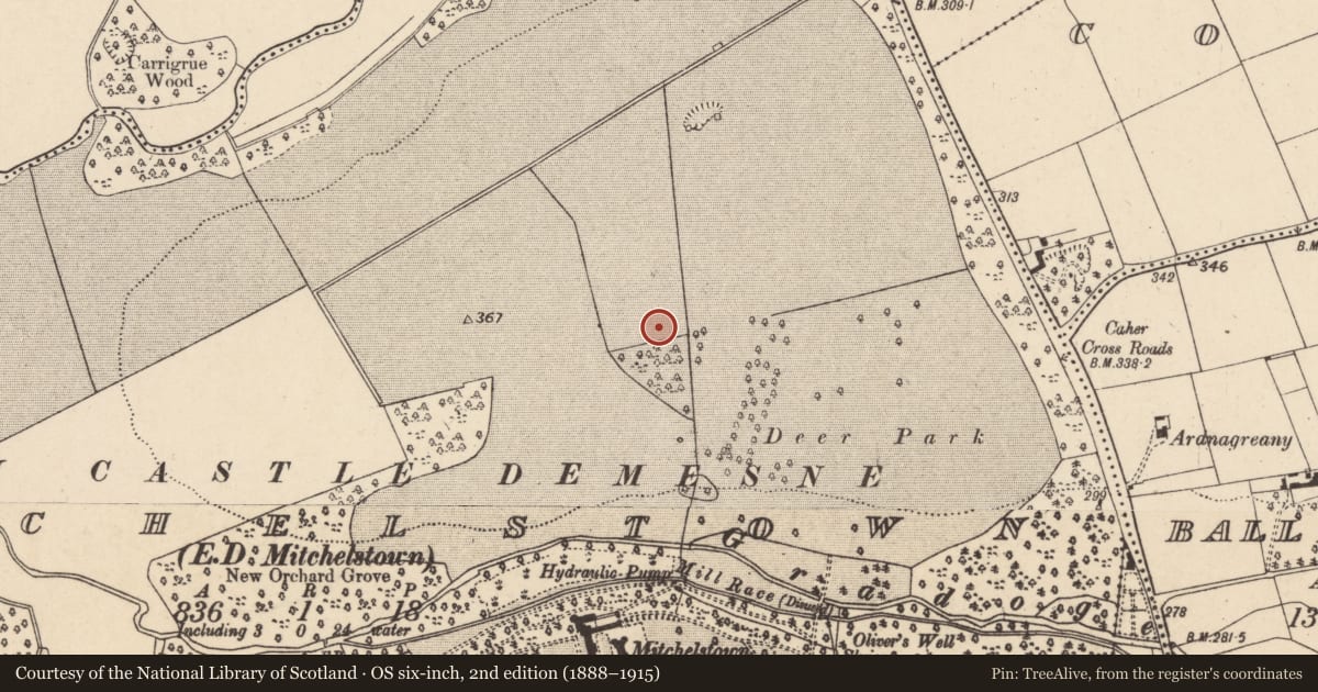
Slide toward Today to fade the historical sheet and see the modern map underneath.
David Rumsey Map Collection, Stanford LibrariesDavid Rumsey Map Collection, Stanford LibrariesDavid Rumsey Map Collection, Stanford LibrariesDavid Rumsey Map Collection, Stanford Libraries
4 historical maps cover this location, the earliest the 1790 map "Composite: Ireland." (David Rumsey Map Collection, Stanford Libraries).
Historical maps covering this location
- 1790 · Composite: Ireland. (David Rumsey Map Collection, Stanford Libraries)
- 1882 · Ireland (southern half). (David Rumsey Map Collection, Stanford Libraries)
- 1891 · Ireland 16 (David Rumsey Map Collection, Stanford Libraries)
- 1904 · Sheet 13. (David Rumsey Map Collection, Stanford Libraries)
This record in the National Monuments Service's Historic Environment Viewer ↗
The National Monuments Service's description
This is one of three house (CO010-065----, CO010-067----) which were excavated in 2004 in advance of the construction of the Mitchelstown inner relief road. This subcircular house (10.7m N-S; 10m E-W) comprised a slot-trench with an internal ring of nine post-holes. According to the excavator (Cotter 2007, 65), one of the post-holes had almost certainly been destroyed by a post-medieval boundary ditch that ran E-W across the S end of the monument. The entrance (Wth c. 1m) faced to the E. This house was located c. 1m to the S of one of the other houses (CO010-065----) and truncated the other (CO010-067----). According to Cotter (ibid.), a dense cluster of stake-holes, occurring in the area where the three houses overlapped, may have represented earlier transitory activity. Radiocarbon dates of 1431-1267 cal. BC (2-sigma) were returned from charcoal recovered from the fill of a structural slot-trench of this house (Cotter 2008, 15). (Cotter 2007, 65; 2008)
The above description is derived from 'The Archaeological Inventory of County Cork. Volume 5' (Dublin: Stationery Office, 2009).
Date of upload: 22 December 2009
Nearby in the register
- House - Bronze Ageunder 1 mi
- House - Bronze Ageunder 1 mi
- Country houseunder 1 mi
- Castle - unclassifiedunder 1 mi
Other entries of the same register within about three miles of this one, by straight line.