Sites and Monuments Record · Ireland
Weir - fish
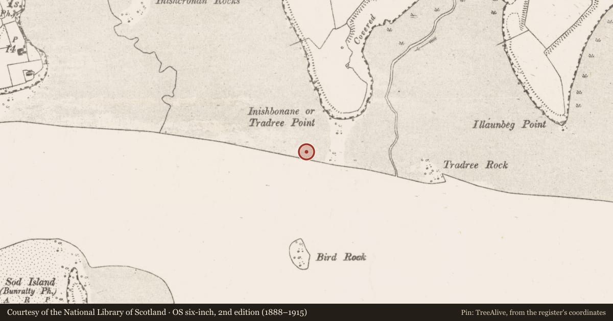
Clonmoney South,River Shannon, County Clare, Ireland
The record
- Townland
- Clonmoney South,River Shannon
- County
- Clare
- Country
- Ireland
- First-edition OS map
- Not indicated
- Latest-edition OS map
- Not indicated
- Coordinates
- 52.68436, -8.83653
- SMR number
- CL061-015----
Slide toward Today to fade the historical sheet and see the modern map underneath.
David Rumsey Map Collection, Stanford LibrariesDavid Rumsey Map Collection, Stanford LibrariesDavid Rumsey Map Collection, Stanford LibrariesDavid Rumsey Map Collection, Stanford Libraries
4 historical maps cover this location, the earliest the 1790 map "Composite: Ireland." (David Rumsey Map Collection, Stanford Libraries).
Historical maps covering this location
- 1790 · Composite: Ireland. (David Rumsey Map Collection, Stanford Libraries)
- 1869 · Ireland. (David Rumsey Map Collection, Stanford Libraries)
- 1891 · Ireland 16 (David Rumsey Map Collection, Stanford Libraries)
- 1904 · Sheet 13. (David Rumsey Map Collection, Stanford Libraries)
This record in the National Monuments Service's Historic Environment Viewer ↗
The National Monuments Service's description
On the N bank of the Shannon estuary adjacent to Clonmoney South townland. Described by O’Sullivan (2001, 304) as a post-medieval ‘large V-shaped wooden fishtrap in estuarine clays at LWM (low water mark) W of Inishbonane or Tradree Point. Flood fence oriented E-W, 23m long; shore fence oriented NW-SE, 63m long. February 1997.' (O'Sullivan 2001, 195-7, 304, Inishbonane 1)
Compiled by: Mary Tunney
Date of upload: 20 August 2019
References
O'Sullivan, A. 2001 Foragers, farmers and fishers in a coastal landscape. Discovery Programme Monograph No. 5
Nearby in the register
- Causewayunder 1 mi
- Enclosureunder 1 mi
- Weir - fishunder 1 mi
- Weir - fishunder 1 mi
Other entries of the same register within about three miles of this one, by straight line.