Sites and Monuments Record · Ireland
Cross (present location)
Clonroad Beg, County Clare, Ireland
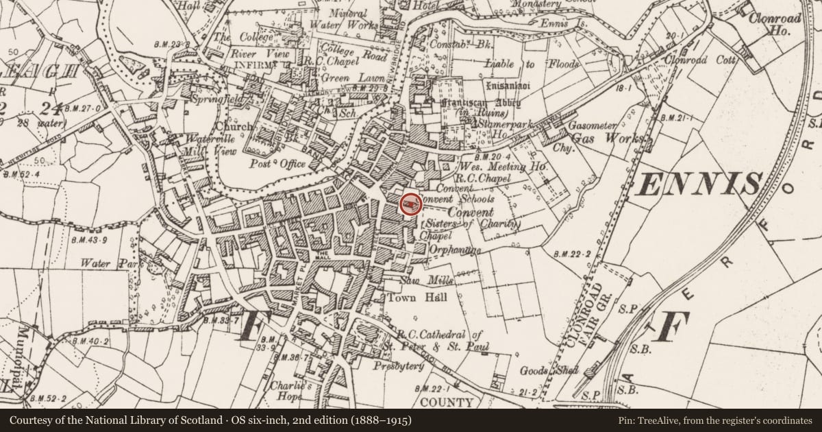
The record
- Townland
- Clonroad Beg
- County
- Clare
- Country
- Ireland
- First-edition OS map
- Not indicated
- Latest-edition OS map
- Not indicated
- Coordinates
- 52.84414, -8.98163
- SMR number
- CL033-178----
Slide toward Today to fade the historical sheet and see the modern map underneath.
David Rumsey Map Collection, Stanford LibrariesDavid Rumsey Map Collection, Stanford LibrariesDavid Rumsey Map Collection, Stanford LibrariesDavid Rumsey Map Collection, Stanford Libraries
4 historical maps cover this location, the earliest the 1753 map "Mappa geographica Regni Hiberniae" (David Rumsey Map Collection, Stanford Libraries).
Historical maps covering this location
- 1753 · Mappa geographica Regni Hiberniae (David Rumsey Map Collection, Stanford Libraries)
- 1790 · Composite: Ireland. (David Rumsey Map Collection, Stanford Libraries)
- 1869 · Ireland. (David Rumsey Map Collection, Stanford Libraries)
- 1891 · Ireland 16 (David Rumsey Map Collection, Stanford Libraries)
This record in the National Monuments Service's Historic Environment Viewer ↗
The National Monuments Service's description
On display in Clare Museum, Ennis. A medieval cross-base (Wth 0.33m) with an inscription in Latin that translates as ‘In this sign you shall conquer’. Found in a garden at Carron, Co. Clare. Its original location is unknown (CL010-228----). The label suggests it may have been used as a base for a processional cross.
Compiled by: Mary Tunney
Date of upload: 27 August 2014
Nearby in the register
- Font (present location)under 1 mi
- Architectural fragmentunder 1 mi
- Architectural fragmentunder 1 mi
- Cross-inscribed stone (present location)under 1 mi
Other entries of the same register within about three miles of this one, by straight line.