Sites and Monuments Record · Ireland
Building
Affick, County Clare, Ireland
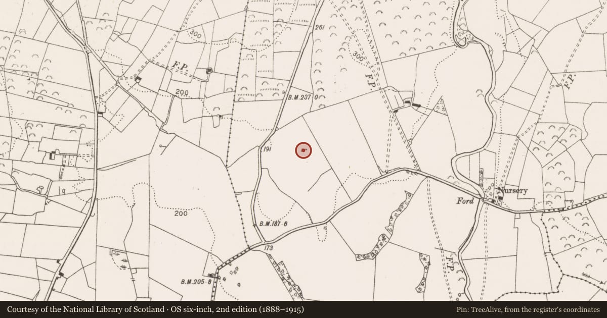
The record
- Townland
- Affick
- County
- Clare
- Country
- Ireland
- First-edition OS map
- Hachured
- Latest-edition OS map
- Not indicated
- Coordinates
- 52.89466, -8.79190
- SMR number
- CL027-029----
Slide toward Today to fade the historical sheet and see the modern map underneath.
David Rumsey Map Collection, Stanford LibrariesDavid Rumsey Map Collection, Stanford LibrariesDavid Rumsey Map Collection, Stanford LibrariesDavid Rumsey Map Collection, Stanford Libraries
4 historical maps cover this location, the earliest the 1753 map "Mappa geographica Regni Hiberniae" (David Rumsey Map Collection, Stanford Libraries).
Historical maps covering this location
- 1753 · Mappa geographica Regni Hiberniae (David Rumsey Map Collection, Stanford Libraries)
- 1790 · Composite: Ireland. (David Rumsey Map Collection, Stanford Libraries)
- 1869 · Ireland. (David Rumsey Map Collection, Stanford Libraries)
- 1891 · Ireland 16 (David Rumsey Map Collection, Stanford Libraries)
This record in the National Monuments Service's Historic Environment Viewer ↗
The National Monuments Service's description
On top of a low hillock in a very undulating landscape in improved pasture with reasonable views of the surrounding landscape. Overlooked by higher ground to WNW and N. Depicted on the 1842 edition of the OS 6-inch map as a circular enclosure (20m E-W; 18m N-S) and on the 25-inch OS map as what appears to be part of a subrectangular feature. It is not depicted on the 1920 OS 6-inch map. It consists of a rectangular area (12m E-W; 8m N-S) the eastern two-thirds of which are obscured by overgrowth. It is defined by a low earthen bank (int. H 0.2m; ext. H 0.3m; Wth at top 1.2m; overall Wth 3.5m) at W. A small portion of similar bank is evident at the N end of the E side, however the rest of this side appears to be levelled, where an obscured view is seen through the vegetation. The enclosing elements are reduced to a scarp (Wth 0.8m; H 0.2m) to N and S. The interior is generally level. There is some stone evident under the sod of the bank/scarp in places suggesting that this may have been a built structure. The E-W orientation and the straight sides may suggest a former church. The monument is surrounded by mature oak trees to W and NW and elsewhere by furze and briars.
The following images have been uploaded:
CL027-029----_01.jpg From N. Cross-section view of bank at W.
CL027-029----_02.jpg From SW. Profile view of N and S external enclosing elements.
CL027-029----_03.jpg From WNW. Monument with 2m rod at W-end, N and S banks.
CL027-029----_04.jpg From NW. General view of monument in landscape.
Compiled by: Mary Tunney, Alison McQueen and Vera Rahilly
Date of upload: 10 December 2018
Nearby in the register
- Castle - tower houseunder 1 mi
- Bawnunder 1 mi
- Enclosureunder 1 mi
- Bullaun stoneunder 1 mi
Other entries of the same register within about three miles of this one, by straight line.