Sites and Monuments Record · Ireland
Ringfort - cashel
Ballykeel South, County Clare, Ireland
The record
- Townland
- Ballykeel South
- County
- Clare
- Country
- Ireland
- First-edition OS map
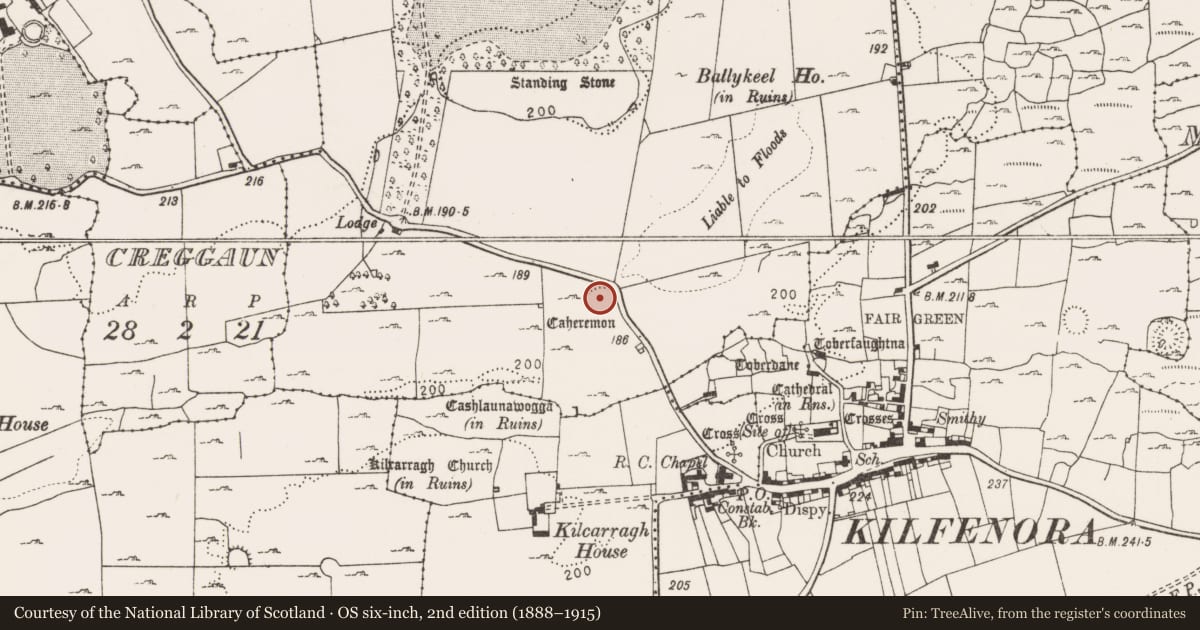
- Caheremon
- Latest-edition OS map
- Caheremon (1916)
- Coordinates
- 52.99236, -9.22192
- SMR number
- CL016-013----
Slide toward Today to fade the historical sheet and see the modern map underneath.
David Rumsey Map Collection, Stanford LibrariesDavid Rumsey Map Collection, Stanford LibrariesDavid Rumsey Map Collection, Stanford LibrariesDavid Rumsey Map Collection, Stanford Libraries
4 historical maps cover this location, the earliest the 1753 map "Mappa geographica Regni Hiberniae" (David Rumsey Map Collection, Stanford Libraries).
Historical maps covering this location
- 1753 · Mappa geographica Regni Hiberniae (David Rumsey Map Collection, Stanford Libraries)
- 1790 · Composite: Ireland. (David Rumsey Map Collection, Stanford Libraries)
- 1869 · Ireland. (David Rumsey Map Collection, Stanford Libraries)
- 1891 · Ireland 16 (David Rumsey Map Collection, Stanford Libraries)
This record in the National Monuments Service's Historic Environment Viewer ↗
The National Monuments Service's description
On a natural rise in an area of undulating rock outcrop and pasture with good views and within an extensive multiperiod field system (CL009-059001-). Hachured and named ‘Caheremon’ on the 1840 and 1916 eds of the OS 6-inch map. Described by Westropp (1900, 429) as ‘levelled to the field’ and ‘of no great size’.
A poorly preserved subcircular cashel (32.5m E-W; 29m N-S) defined by a low collapsed and grassed-over stone and earthen bank (H 0.8m), with an inner face remaining at W (H 0.15m) but reduced to a scarp elsewhere. Slightly truncated at NE by a modern field boundary. In the interior, there are several long low earth and stone banks with no discernible pattern. Visible concrete within the rubble suggests a modern shed since destroyed.
Compiled by: Mary Tunney and Lynda McCormack
Date of upload: 2 February 2022
References
Westropp, T.J. 1900-02 The cahers of county Clare: their names, features, and bibliography. Proceedings of the Royal Irish Academy Series 3, vol. 6, 415-49.
Nearby in the register
- Castle - tower houseunder 1 mi
- Bawnunder 1 mi
- Buildingunder 1 mi
- Kiln - limeunder 1 mi
Other entries of the same register within about three miles of this one, by straight line.