Sites and Monuments Record · Ireland
Penitential station
Fahee South, County Clare, Ireland
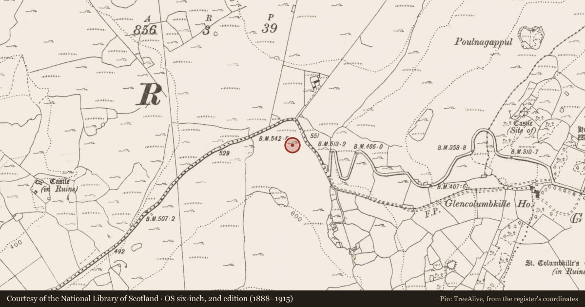
The record
- Townland
- Fahee South
- County
- Clare
- Country
- Ireland
- First-edition OS map
- Not indicated
- Latest-edition OS map
- Not indicated
- Coordinates
- 53.04304, -9.03028
- SMR number
- CL010-137011-
Slide toward Today to fade the historical sheet and see the modern map underneath.
David Rumsey Map Collection, Stanford LibrariesDavid Rumsey Map Collection, Stanford LibrariesDavid Rumsey Map Collection, Stanford LibrariesDavid Rumsey Map Collection, Stanford Libraries
4 historical maps cover this location, the earliest the 1753 map "Mappa geographica Regni Hiberniae" (David Rumsey Map Collection, Stanford Libraries).
Historical maps covering this location
- 1753 · Mappa geographica Regni Hiberniae (David Rumsey Map Collection, Stanford Libraries)
- 1790 · Composite: Ireland. (David Rumsey Map Collection, Stanford Libraries)
- 1869 · Ireland. (David Rumsey Map Collection, Stanford Libraries)
- 1891 · Ireland 16 (David Rumsey Map Collection, Stanford Libraries)
This record in the National Monuments Service's Historic Environment Viewer ↗
The National Monuments Service's description
One of a group of 11 cairns (CL010-137----/CL010-137001- to CL010-137011-) along the NE-shoulder of a ridge of exposed limestone and rough grazing at the top of a series of hairpin bends rising from the E. Listed as ‘Penitential station/cairn(s)’ in the RMP (1996) on the basis of a map annotation by Tom Coffey (1994, SMR file). They are described as ‘Stone-Heap Memorials’ in the National Folklore Collection Photograph no. A068.19.00001, taken in 1946. A square cairn (2m N-S; 2m E-W; H 1.1m) c. 60m to the NW of the other 10 cairns. An upright flag (H 0.4m) on top leans slightly to the N. Glencolumbkille Church and graveyard (CL010-038002- and CL010-038003--) lie c. 800m downhill to the SE.
The following images have been uploaded:
CL010-137011-_01.jpg View of cairn from E
CL010-137011-_01.jpg View of cairn from NW
Compiled by: Mary Tunney
Date of upload: 6 June 2023
Nearby in the register
- Penitential stationunder 1 mi
- Penitential stationunder 1 mi
- Penitential stationunder 1 mi
- Penitential stationunder 1 mi
Other entries of the same register within about three miles of this one, by straight line.