Sites and Monuments Record · Ireland
Ringfort - cashel
Poulanine, County Clare, Ireland
The record
- Townland
- Poulanine
- County
- Clare
- Country
- Ireland
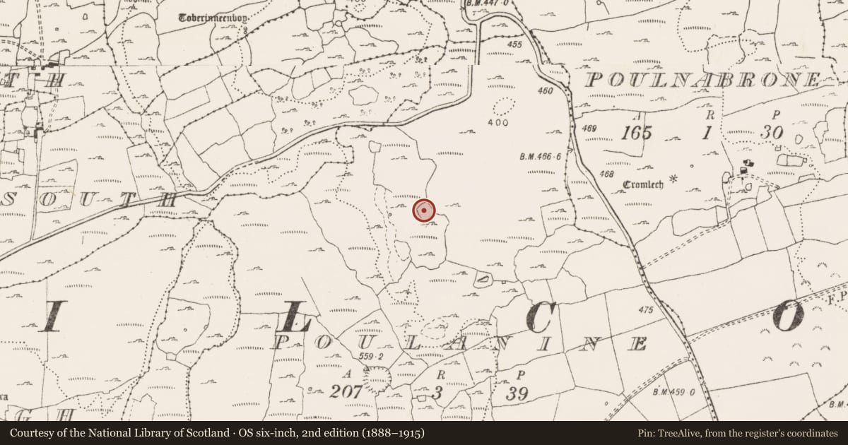
- First-edition OS map
- Not indicated
- Latest-edition OS map
- Indicated
- Coordinates
- 53.04810, -9.14775
- SMR number
- CL009-168001-
Slide toward Today to fade the historical sheet and see the modern map underneath.
David Rumsey Map Collection, Stanford LibrariesDavid Rumsey Map Collection, Stanford LibrariesDavid Rumsey Map Collection, Stanford LibrariesDavid Rumsey Map Collection, Stanford Libraries
4 historical maps cover this location, the earliest the 1753 map "Mappa geographica Regni Hiberniae" (David Rumsey Map Collection, Stanford Libraries).
Historical maps covering this location
- 1753 · Mappa geographica Regni Hiberniae (David Rumsey Map Collection, Stanford Libraries)
- 1790 · Composite: Ireland. (David Rumsey Map Collection, Stanford Libraries)
- 1869 · Ireland. (David Rumsey Map Collection, Stanford Libraries)
- 1891 · Ireland 16 (David Rumsey Map Collection, Stanford Libraries)
This record in the National Monuments Service's Historic Environment Viewer ↗
The National Monuments Service's description
On a plateau of limestone with a thin grass cover, and a ravine c. 50m to the W. Within a multiperiod field system (CL009-255----). This square cashel (int. dims. 32.3m NE-SW; 32.2m NW-SE) is defined by a stone wall (Wth c. 1.4m; int. H 0.4-0.8m; ext. H 0.5m). The outer wall-face of large horizontally laid stones can be traced nearly all the way around, but the wall is largely obscured by stone spill (total Wth 2-3m). There is a possible entrance (Wth 1.5m) at the NE, defined by two upright stones. A later drystone wall overlies this side of the cashel wall. At SW the cashel wall has been re-built in places as a double-faced wall (Wth c. 1m; max. ext. H 2.5m). The remains of a house (CL009-168002-) lie in the centre of the cashel. Later cells are built in two of the internal corners, one (int. dims. 4m NW-SE; 3.2m NE-SW) in the N corner defined by a double-faced wall and another in the S corner (int. dims. 7m NE-SW; 6m NW-SE; max. H 0.8m) with a curvilinear wall in which stones are laid transversely.
Compiled by: Mary Tunney and Conn Herriott
Date of upload: 6 July 2022
Nearby in the register
- House - indeterminate dateunder 1 mi
- Ringfort - cashelunder 1 mi
- Cairn - unclassifiedunder 1 mi
- Hut siteunder 1 mi
Other entries of the same register within about three miles of this one, by straight line.