Sites and Monuments Record · Ireland
Enclosure
Gowlaun, County Clare, Ireland
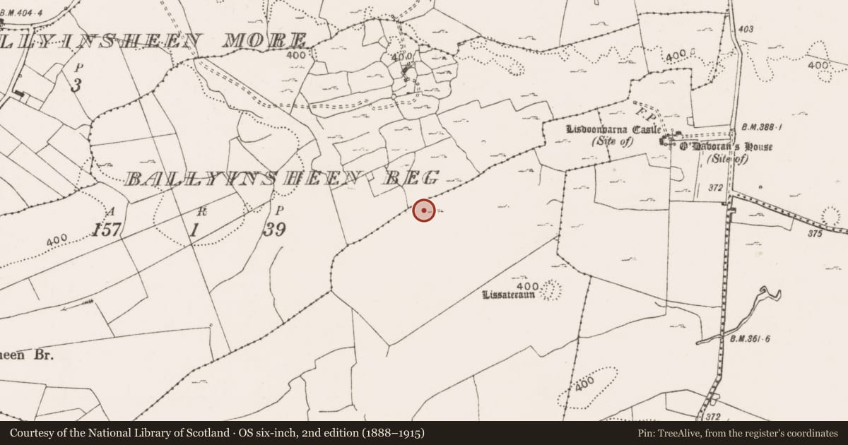
The record
- Townland
- Gowlaun
- County
- Clare
- Country
- Ireland
- First-edition OS map
- Not indicated
- Latest-edition OS map
- Not indicated
- Coordinates
- 53.03469, -9.27381
- SMR number
- CL008-045007-
Slide toward Today to fade the historical sheet and see the modern map underneath.
David Rumsey Map Collection, Stanford LibrariesDavid Rumsey Map Collection, Stanford LibrariesDavid Rumsey Map Collection, Stanford LibrariesDavid Rumsey Map Collection, Stanford Libraries
4 historical maps cover this location, the earliest the 1753 map "Mappa geographica Regni Hiberniae" (David Rumsey Map Collection, Stanford Libraries).
Historical maps covering this location
- 1753 · Mappa geographica Regni Hiberniae (David Rumsey Map Collection, Stanford Libraries)
- 1790 · Composite: Ireland. (David Rumsey Map Collection, Stanford Libraries)
- 1869 · Ireland. (David Rumsey Map Collection, Stanford Libraries)
- 1891 · Ireland 16 (David Rumsey Map Collection, Stanford Libraries)
This record in the National Monuments Service's Historic Environment Viewer ↗
The National Monuments Service's description
In undulating pastureland and outcropping limestone, with higher ground to the SE, within an extensive multiperiod field system (CL009-001001-). This enclosure is defined by a roughly D-shaped steeply scarped earthen platform (31.7m E-W; H 0.55-0.9m) with a straight NW side (L c. 33m) consisting of a modern field wall. The field to the N of this wall has been quarried. Intermittent stretches of limestone drystone revetting (two/three courses high) are visible on the scarp face from SSE-W. The perimeter is overgrown from ENE-E. Two hollows (D 0.5m) are visible in the uneven rocky interior. Limestone slabs and boulders in the base of the larger hollow (7m NE-SW; 2m NW-SE) are suggestive of a possible collapsed souterrain but may be field clearance. There is a cashel (CL008-045008-) c. 68m to the NE, and a rath (CL008-045006-) c. 86m to the SSW.
The following image has been uploaded: CL008-045007-_01.jpg View from SW
Compiled by: Olive Alcock and Conn Herriott
Date of upload: 5 October 2022
Nearby in the register
- Ringfort - cashelunder 1 mi
- Ringfort - rathunder 1 mi
- Sheepfoldunder 1 mi
- Ringfort - rathunder 1 mi
Other entries of the same register within about three miles of this one, by straight line.