Sites and Monuments Record · Ireland
Ringfort - cashel
Deelin More, County Clare, Ireland
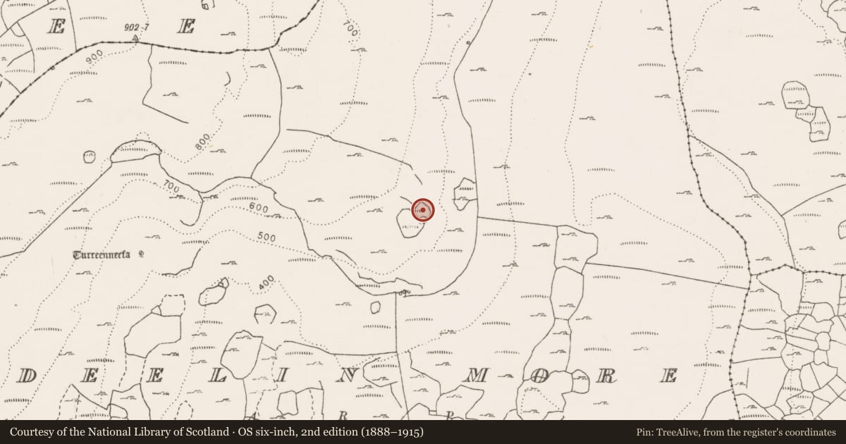
The record
- Townland
- Deelin More
- County
- Clare
- Country
- Ireland
- Coordinates
- 53.08204, -9.09061
- SMR number
- CL006-212----
Slide toward Today to fade the historical sheet and see the modern map underneath.
David Rumsey Map Collection, Stanford LibrariesDavid Rumsey Map Collection, Stanford LibrariesDavid Rumsey Map Collection, Stanford LibrariesDavid Rumsey Map Collection, Stanford Libraries
4 historical maps cover this location, the earliest the 1753 map "Mappa geographica Regni Hiberniae" (David Rumsey Map Collection, Stanford Libraries).
Historical maps covering this location
- 1753 · Mappa geographica Regni Hiberniae (David Rumsey Map Collection, Stanford Libraries)
- 1790 · Composite: Ireland. (David Rumsey Map Collection, Stanford Libraries)
- 1869 · Ireland. (David Rumsey Map Collection, Stanford Libraries)
- 1891 · Ireland 16 (David Rumsey Map Collection, Stanford Libraries)
This record in the National Monuments Service's Historic Environment Viewer ↗
The National Monuments Service's description
On a prominent terrace on the SE extent of Ailwee Hill commanding the valley below and within a large multiperiod field system (CL005-104001-/CL006-001---*) stretching all over the hill to the NW. A subrectangular cashel (36m NW-SE; 32m NE-SW) with slightly rounder corners defined by a double-faced wall (Wth 1.2m; H up to 1.2m) with a rubble core. There are a number of gaps in the cashel wall but no distinct entrance feature. Some soil cover remains in the S sector. The SE corner is walled off internally and some tumbled walls within suggest the remains of a house (CL006-212001-). A large oval enclosure (CL006-212002-) is attached at SW and a number of attached walls form a field system (CL006-212003-). This monument was reported to the National Monuments Service by Michael Gibbons.
The following images have been uploaded:
CL006-212----_01.jpg View of cashel from NW with attached enclosure and field system overlooking the valley below (photo: Michael Gibbons).
CL006-212----_02.jpg Well defined NW wall showing some gaps (photo: Michael Gibbons).
Compiled by: Mary Tunney
Date of upload: 15 June 2021
Nearby in the register
- House - indeterminate dateunder 1 mi
- Enclosureunder 1 mi
- Field systemunder 1 mi
- Fulacht fiaunder 1 mi
Other entries of the same register within about three miles of this one, by straight line.